28 articles to prepare your trip
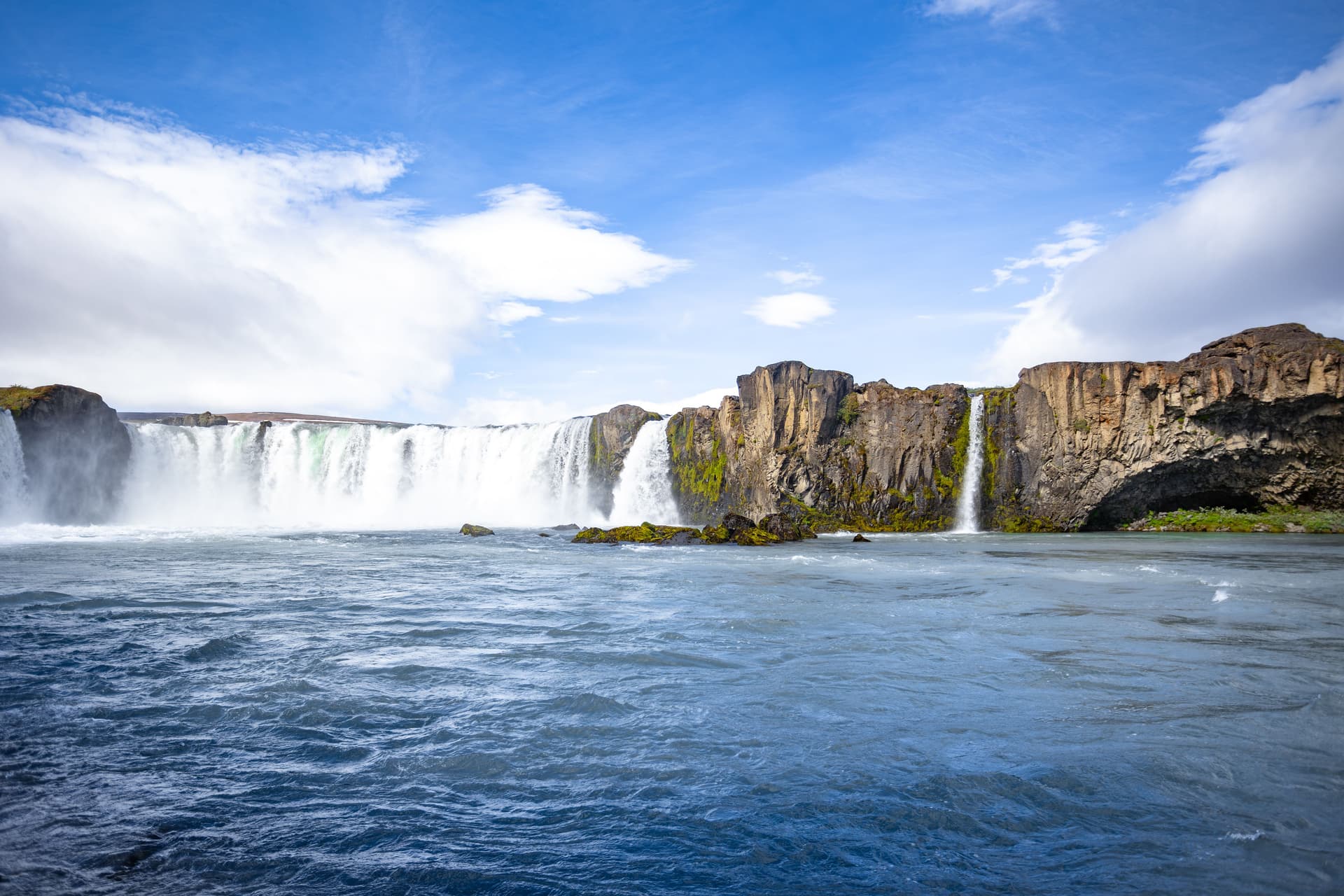
Goðafoss, the 'Waterfall of the Gods,' cascades in a horseshoe formation across the Skjálfandafljót river in northern Iceland. Steeped in history and raw beauty, it's just minutes from Route 1.
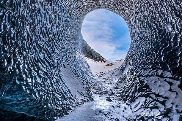
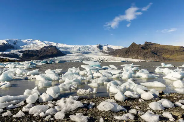
Vatnajökull covers 8% of Iceland and hides active volcanoes beneath its ice cap. Glacier hikes, winter ice caves, and the iceberg-filled Jökulsárlón lagoon make it an unmissable UNESCO site in southeastern Iceland.
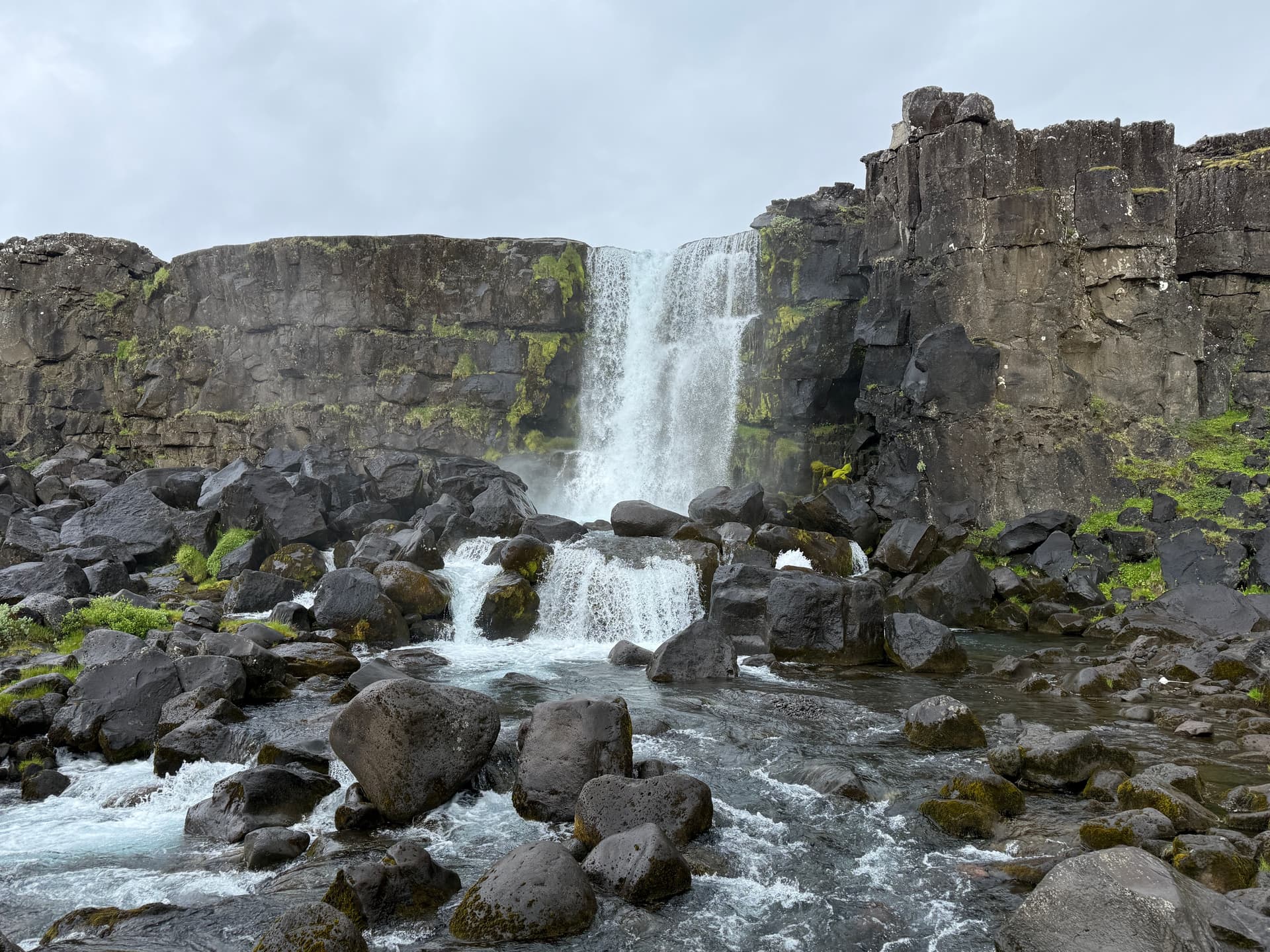
Þingvellir brings together in one site the visible boundary between two tectonic plates, the birthplace of the Icelandic parliament founded in 930, and Iceland's largest natural lake — just 40 km from Reykjavík.
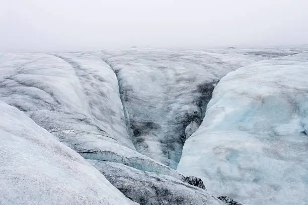
A glacial tongue of Mýrdalsjökull streaked with volcanic ash, Sólheimajökull can be explored on foot to the glacier front or on a guided ice-climbing expedition, between blue seracs and meltwater lagoons.
At Flúðir, the Secret Lagoon (Gamla Laugin) is one of Iceland's oldest geothermal pools. Water at 38-40°C, active geysers within reach, and pristine natural setting, just 30 minutes from Geysir.
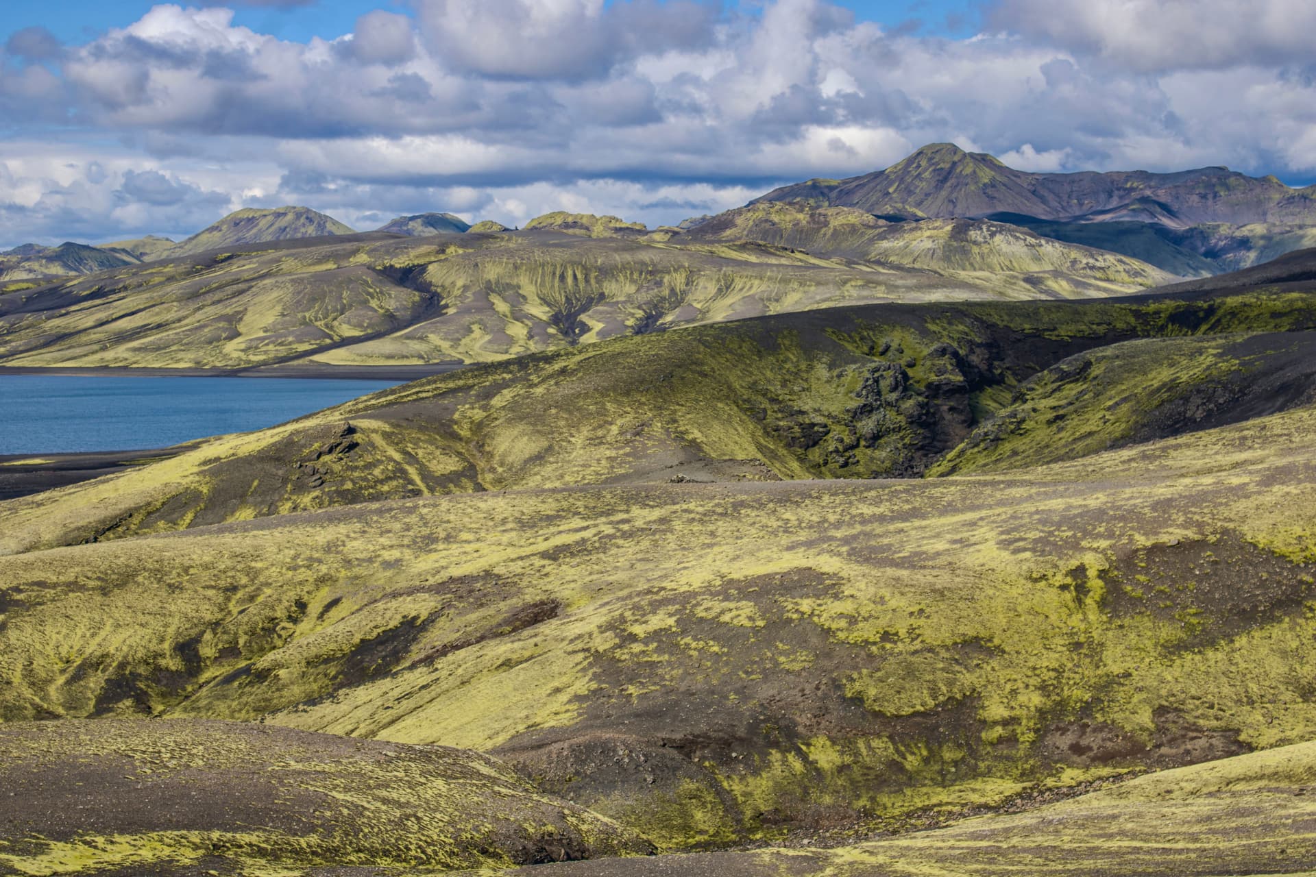
Lakagígar (Laki) is an alignment of 130 volcanic craters in Iceland's Highlands, remnant of the cataclysmic 1783-1784 eruption. Accessible by 4×4 from late June through early September, it offers one of the country's most intense volcanic landscapes.
Jökulsárlón
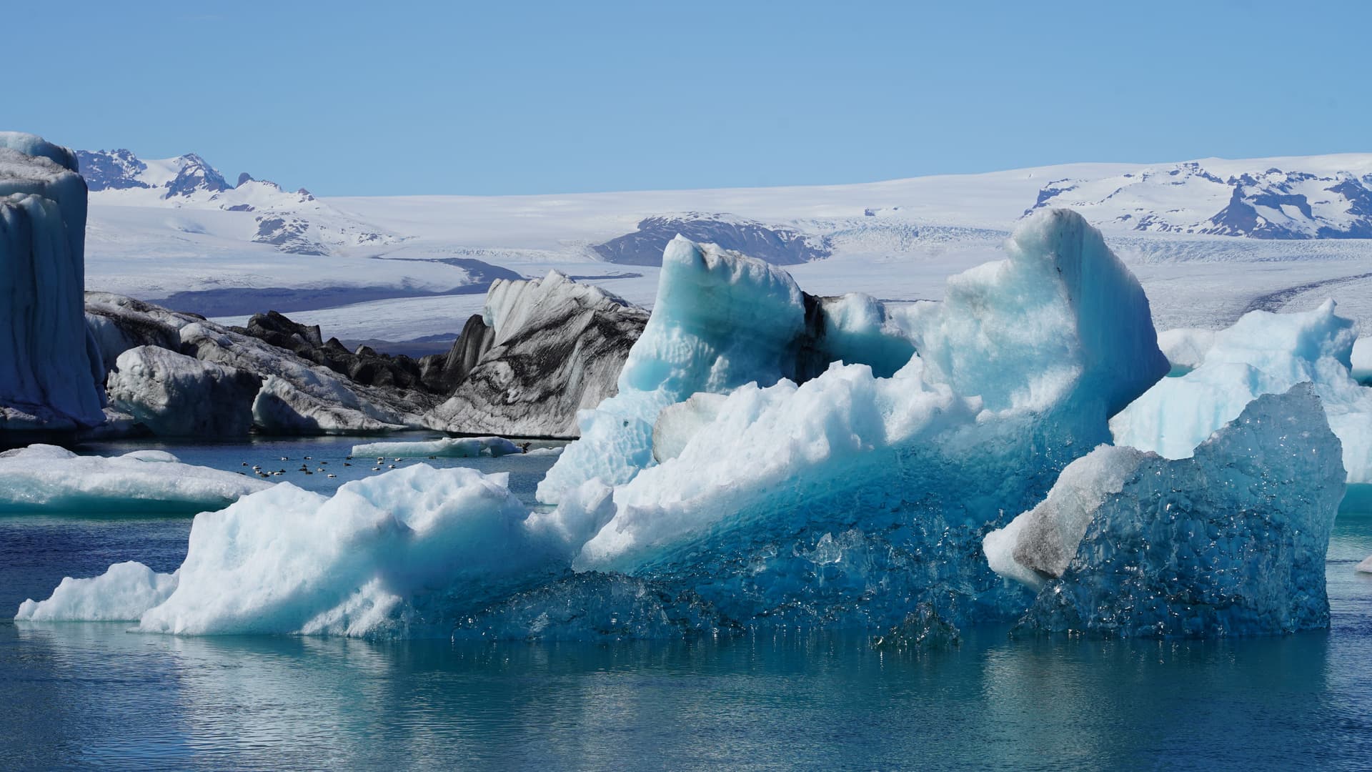
Jökulsárlón is a glacial lake in southeast Iceland where luminous blue icebergs drift toward the Atlantic. Seals, the Diamond Beach, and boat cruises among the ice make it one of the country's most spectacular natural sites.
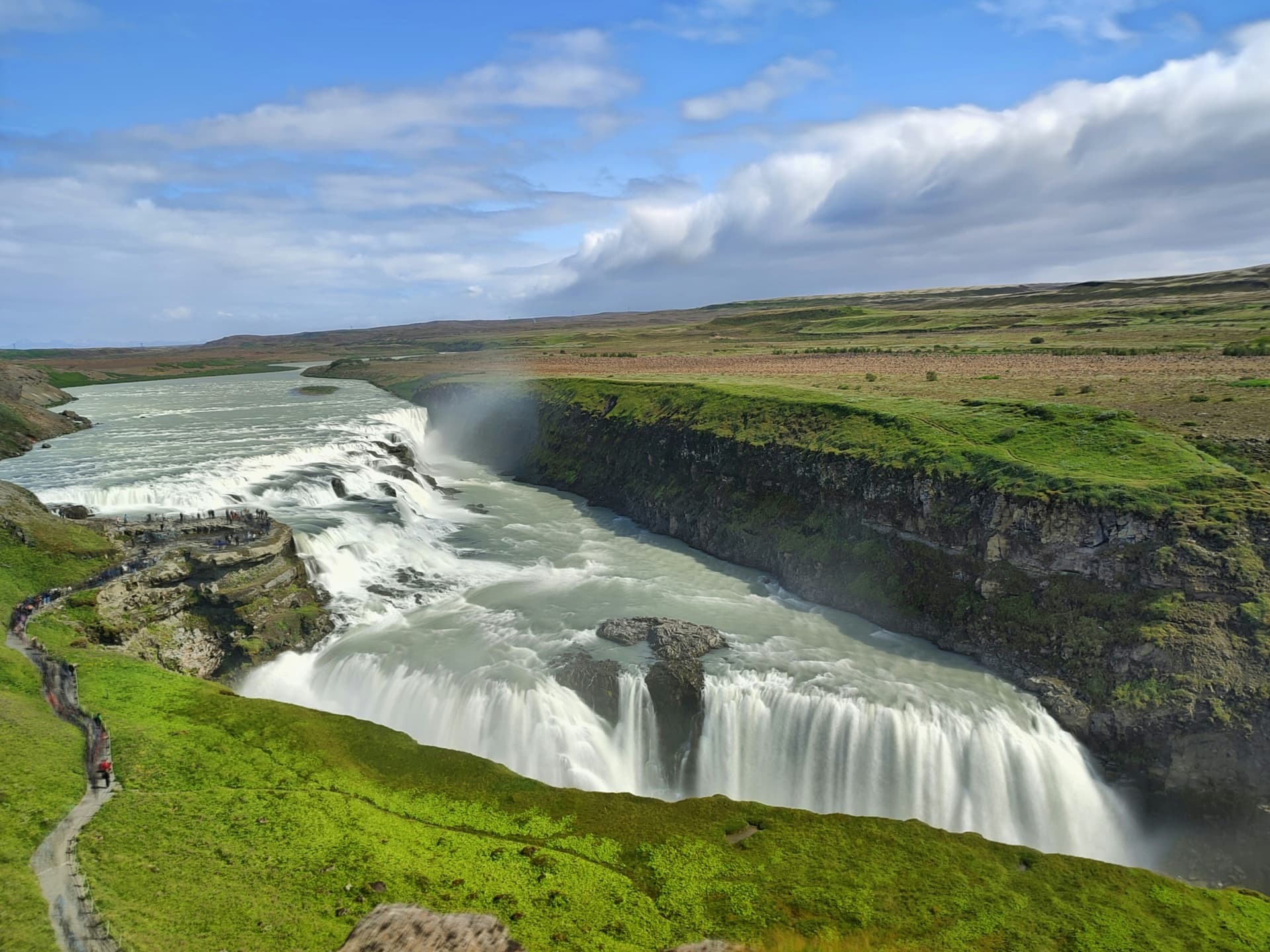
The Golden Circle connects in a single day three emblematic sites of southwestern Iceland: the tectonic rift of Þingvellir (UNESCO), the Strokkur geyser and the double waterfall of Gullfoss.
Goðafoss, the 'Waterfall of the Gods', plunges in a horseshoe formation over the Skjálfandafljót river, midway between Akureyri and Lake Mývatn. A site rich in history, accessible year-round and free to visit.
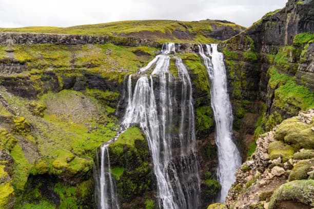
Glymur is Iceland's second-highest waterfall, nestled in a basalt canyon at the head of Hvalfjörður fjord. A 3 to 4-hour hike from Reykjavík, featuring a river crossing and a vertiginous viewpoint.
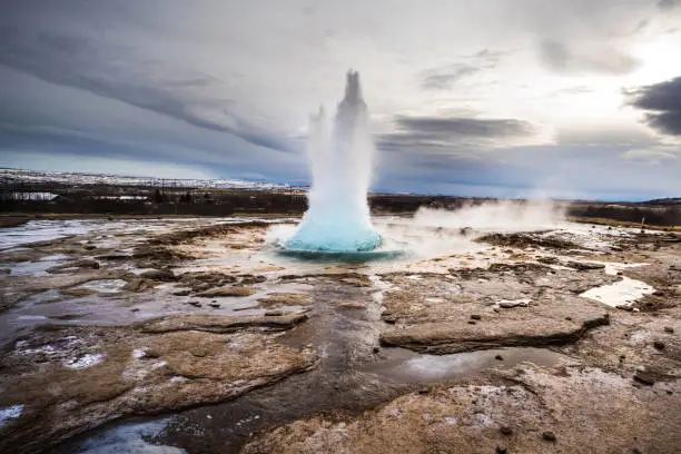
In the Haukadalur valley, Geysir gave its name to all geysers in the world. Its active neighbor Strokkur erupts every five to ten minutes, shooting water up to 40 meters high.
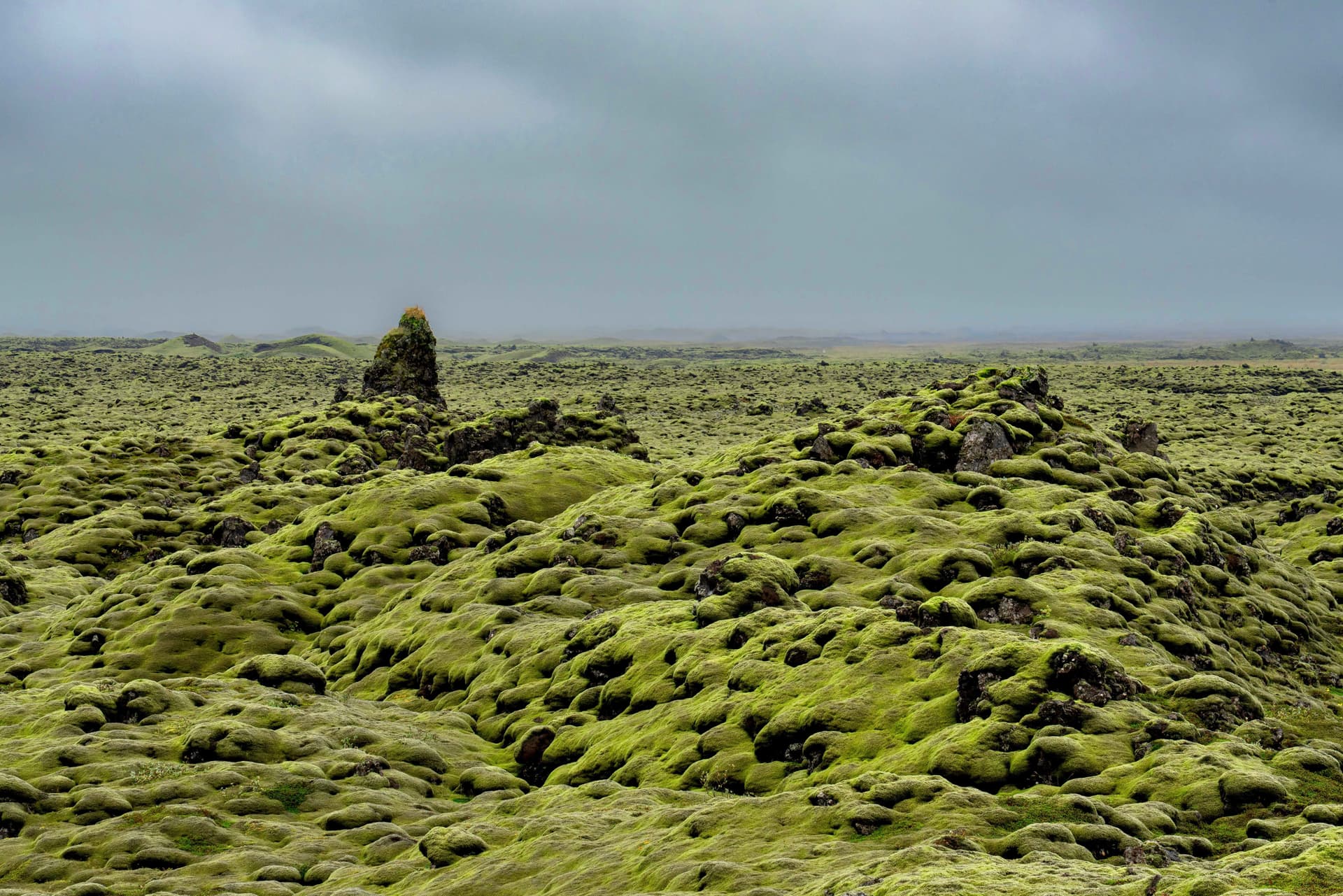
Born from the catastrophic Laki eruption in 1783, Eldhraun is a 565 km² lava field entirely carpeted in green moss, stretching along Route 1 between Kirkjubæjarklaustur and Vík.
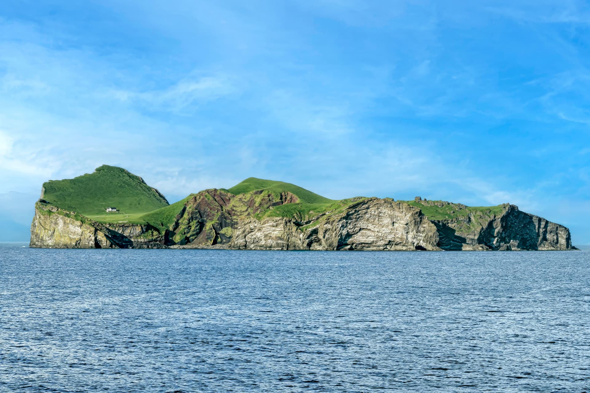
Drangey
Drangey rises from Skagafjörður fjord with its 180-meter cliffs, puffin colonies, and the story of the outlaw Grettir. A wild and rarely visited site, accessible only by boat in summer.
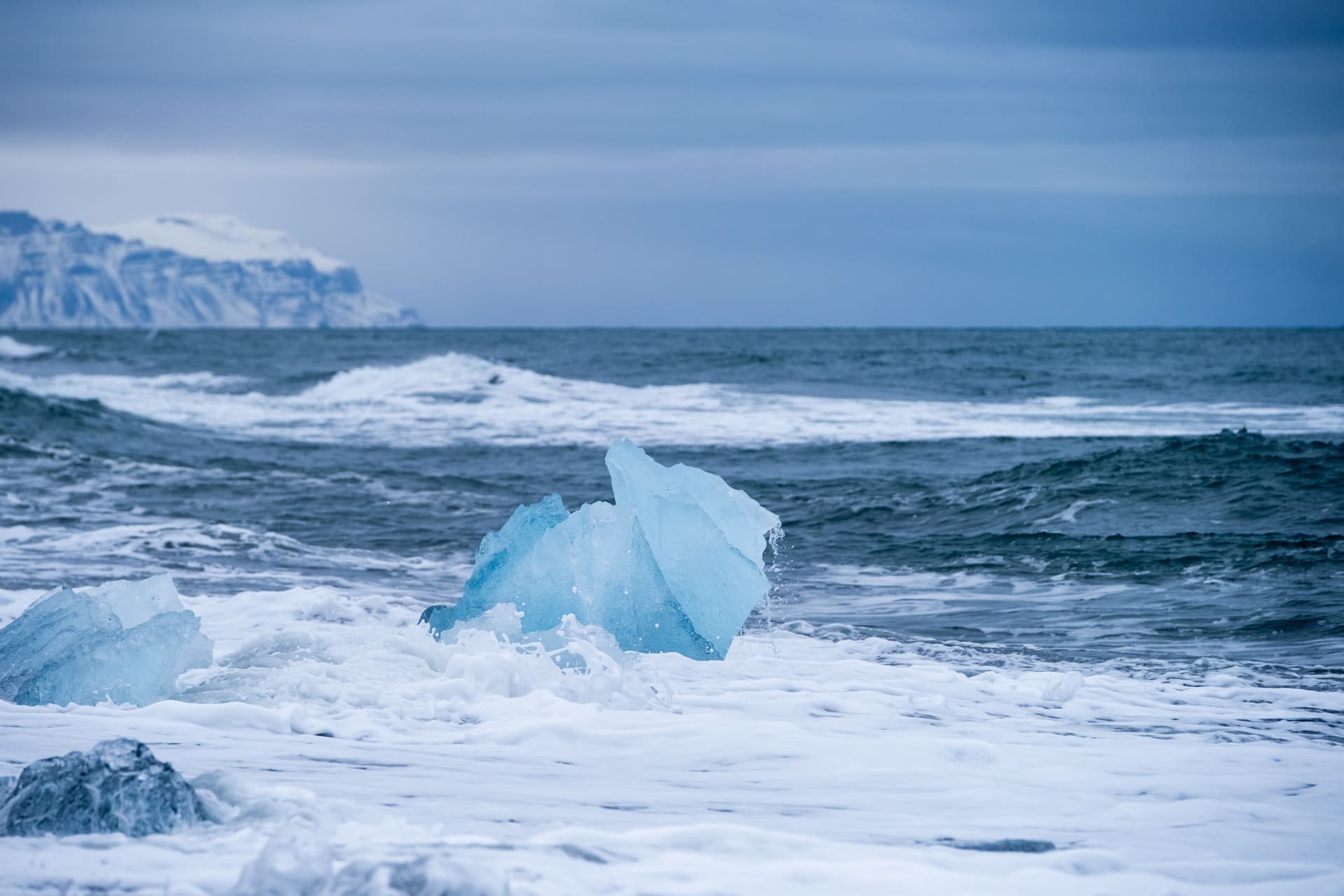
On Iceland's southeastern coast, Diamond Beach displays translucent blocks of ice across volcanic black sand. An ever-shifting landscape, accessible year-round from Route 1.
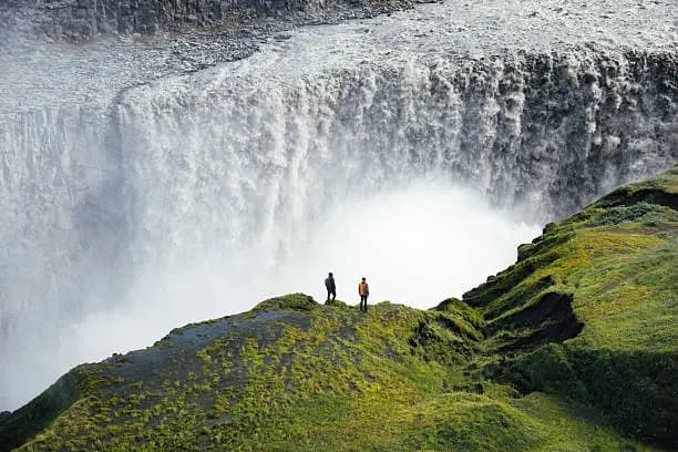
Dettifoss, located in Vatnajökull National Park, is Europe's most powerful waterfall. With a 44-meter drop and an average discharge exceeding 190 m³/s, it stands as one of Iceland's most breathtaking natural sites.
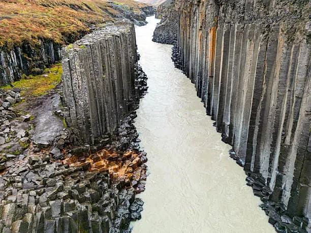
Stuðlagil Canyon in eastern Iceland reveals hexagonal basalt columns and the turquoise-hued Jökulsá á Brú river. An exceptional geological site, accessible from June to September.
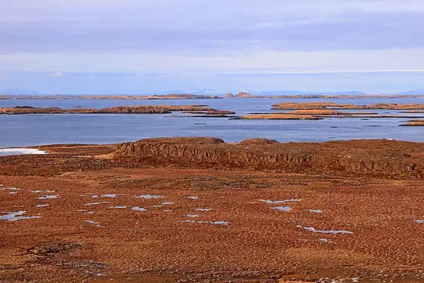
Breiðafjörður stretches between Snæfellsnes and the West Fjords: thousands of islets, seal colonies, white-tailed eagles and the island of Flatey, frozen in time.
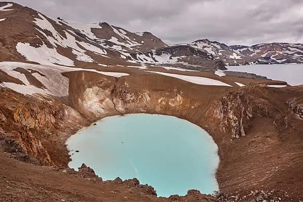
Askja is a volcanic massif in Iceland's Highlands, accessible by 4x4 in summer. It is home to the deep lake Öskjuvatn and the geothermal crater Víti, where bathing is possible in the heart of a lava desert.
18 of 28 results
We use cookies to improve your experience and measure our site's audience. You can choose what you accept. Learn more.