Complete Guide to Iceland
Our local agency is based in Reykjavik, where we design itineraries that showcase Iceland's geological contrasts. Iceland spans 103,000 km², but requires time to explore: the ring road (Hringvegur, route 1) stretches 1,332 km and crosses four very distinct regions. In the south, the coastal plain features waterfalls (Seljalandsfoss, Skógafoss) and black sand beaches extending to Vatnajökull glacier, Europe's largest by volume.
In the north, around Akureyri and Lake Mývatn, the landscape becomes lunar: lava fields, solfataras, craters. It's also the most active zone for viewing the Northern Lights between September and March. The West Fjords (Vestfirðir) remain relatively untouched, accessible in summer only for most inland routes. The Highlands (Landmannalaugar, Þórsmörk) open only between late June and mid-September, and require a 4x4 to ford rivers.
Iceland can be visited year-round, but your choice of season determines everything: Northern Lights and ice caves in winter, midnight sun and trekking in the Highlands in summer. Allow 8 to 10 days for a full island loop at a comfortable pace, longer if you wish to include the Westfjords or a multi-day trek.
The regions of Iceland
Each region has its own personality: climate, landscapes, pace of life and ways of traveling. Our local team helps you choose the combination that suits you.
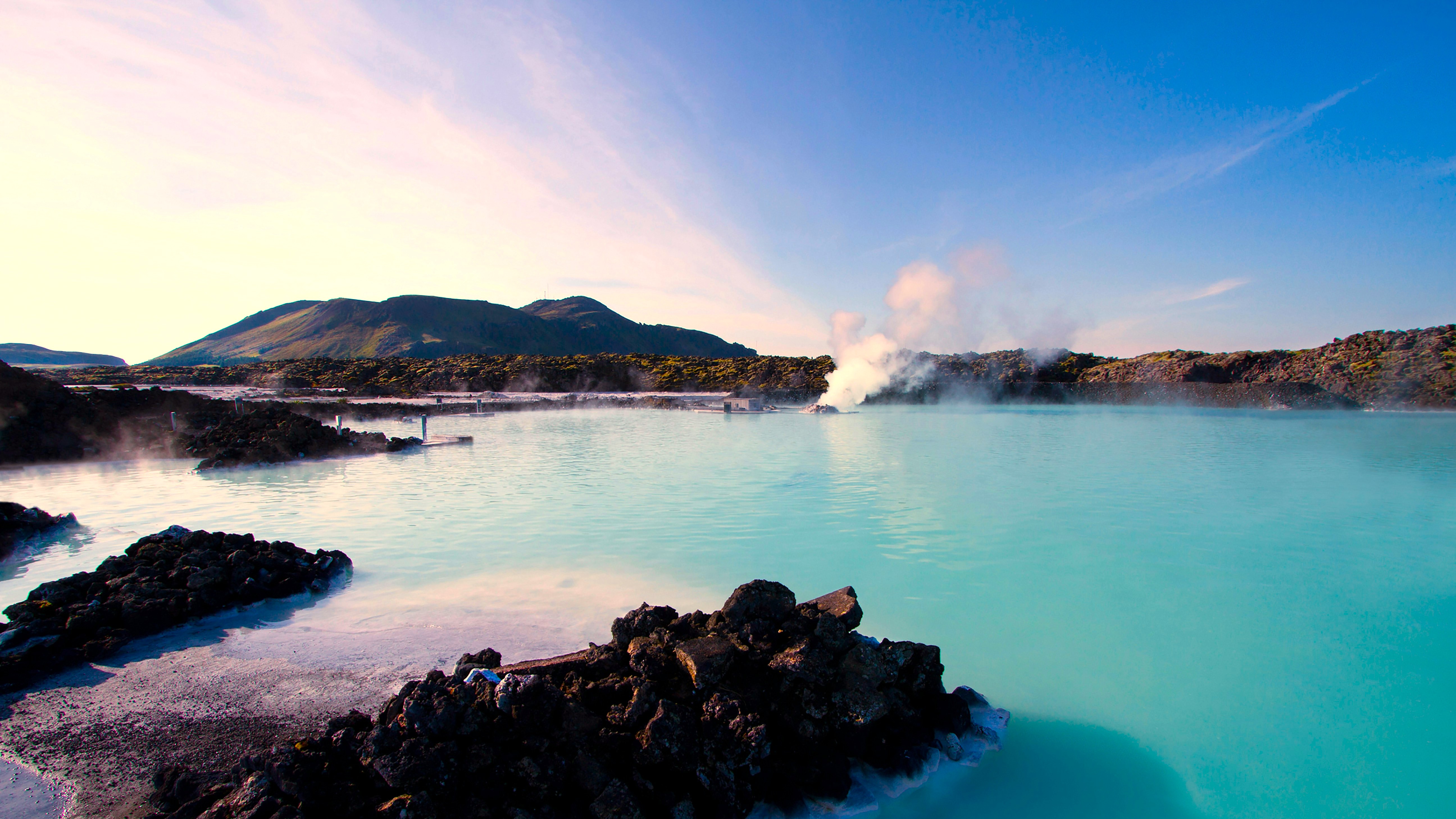
Reykjavik and Southwest
Reykjavik is home to two-thirds of the country's population and serves as the logistical hub for most trips. Around the capital, the Reykjanes Peninsula (where Keflavik Airport is located) has experienced several eruptions since 2021, near Fagradalsfjall. The Golden Circle (Þingvellir, Geysir, Gullfoss) can be completed in a day from the city. Winter temperatures hover around 0°C, with mild summers between 10 and 15°C. This is the ideal region for a first visit, with a well-maintained road network accessible year-round and a thriving gastronomy scene in Reykjavik (fresh fish, lamb, restaurants with mains at €25–40).
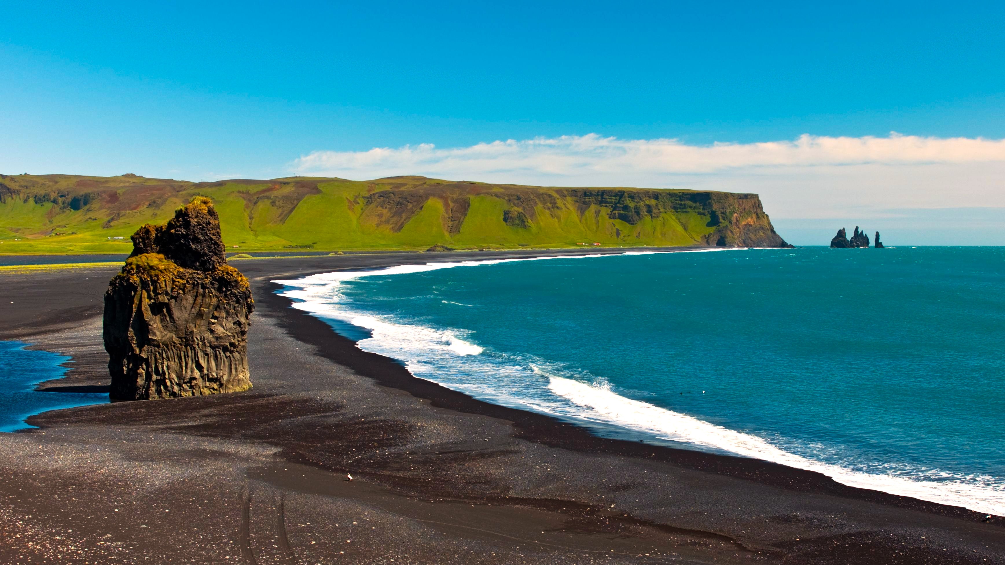
South Coast
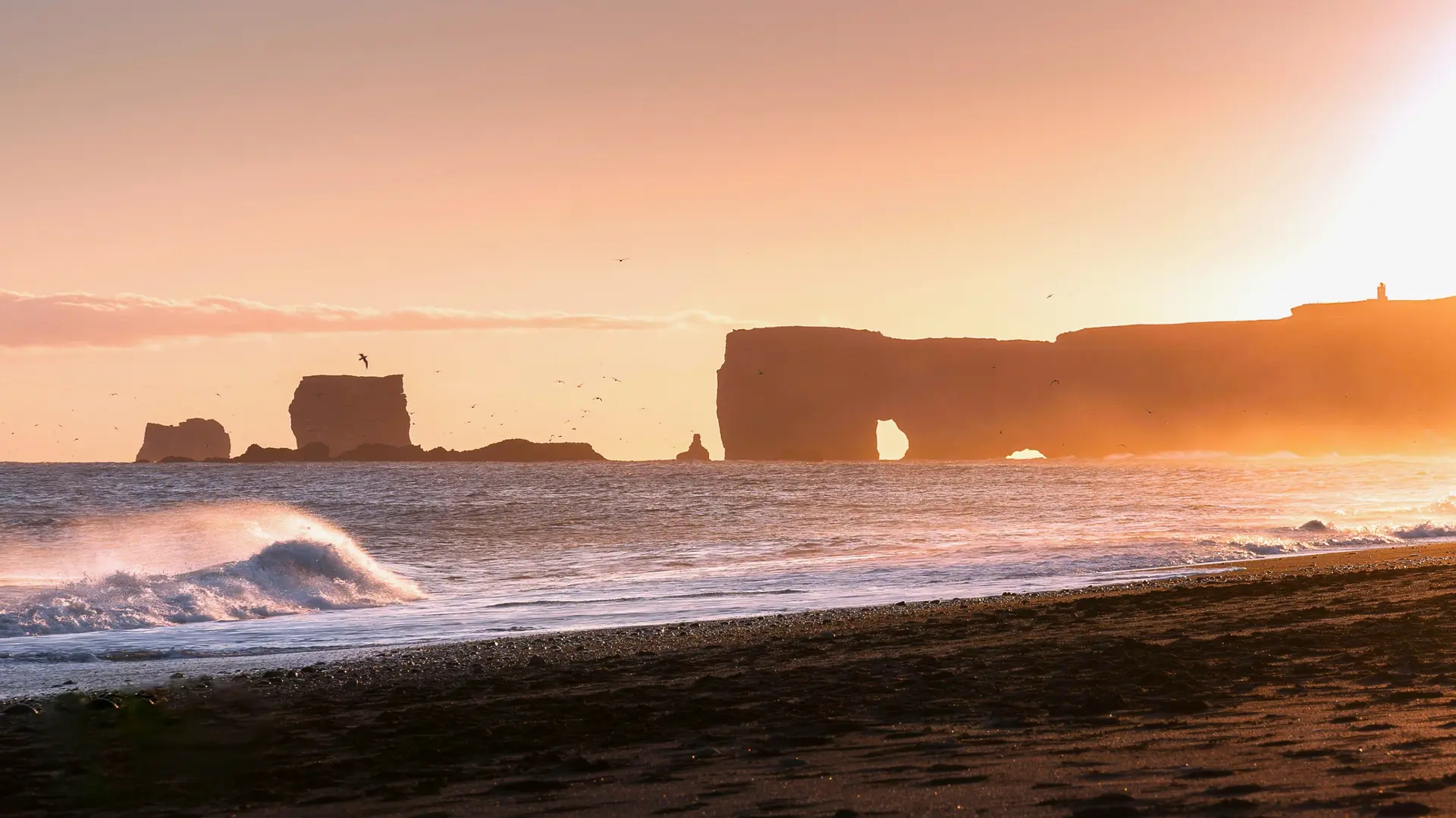
From Hveragerði to Höfn, the south coast unfolds 400 km of waterfalls, glaciers and black sand beaches. Seljalandsfoss and Skógafoss plunge 60 metres beside Route 1. Further on, Vík and its Reynisfjara beach (watch out for sneaker waves, several accidents per year) precede Vatnajökull National Park. At Jökulsárlón, icebergs calved from the glacier drift out to the ocean. The country's most visited region, accessible year-round but windy in winter. Allow 3 to 4 days to explore it properly, with a night in Vík and another around Höfn.
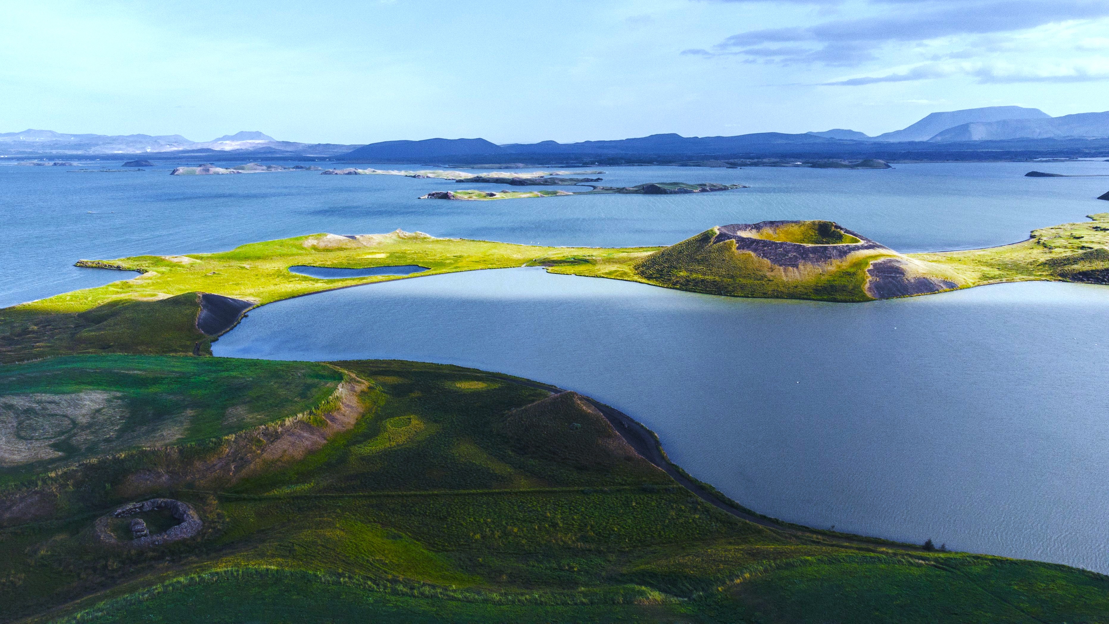
North and Lake Mývatn
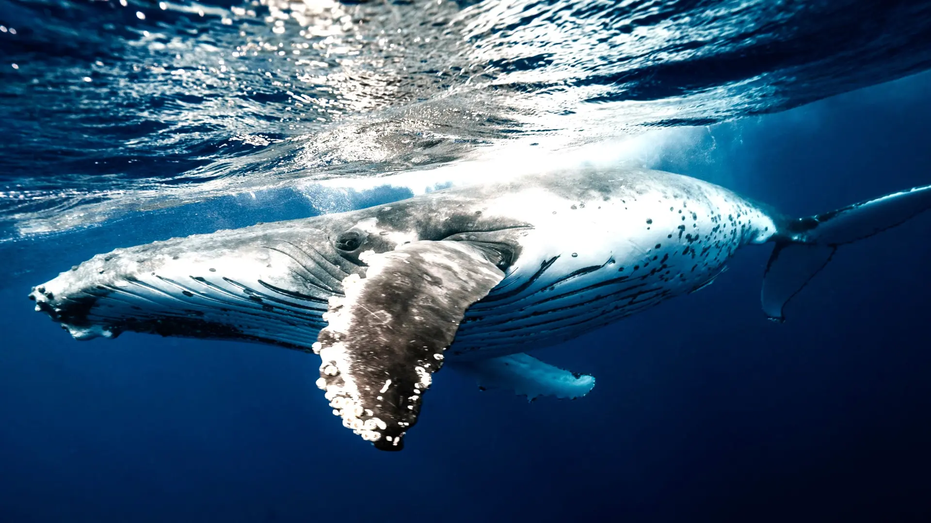
Akureyri, Iceland's second-largest city with 20,000 inhabitants, opens the gateway to the North. An hour's drive away, Lake Mývatn lines up pseudo-craters, geothermal baths and solfataras (Hverir, Krafla). Further east, Dettifoss unleashes 500 m³/second, making it Europe's most powerful waterfall. The Tröllaskagi peninsula offers less-frequented fjords and excellent bases for whale watching in Húsavík (June to August). Winters are cold, down to -15°C, but the sky is often clearer than in the south, making it a prime zone for the Northern Lights.
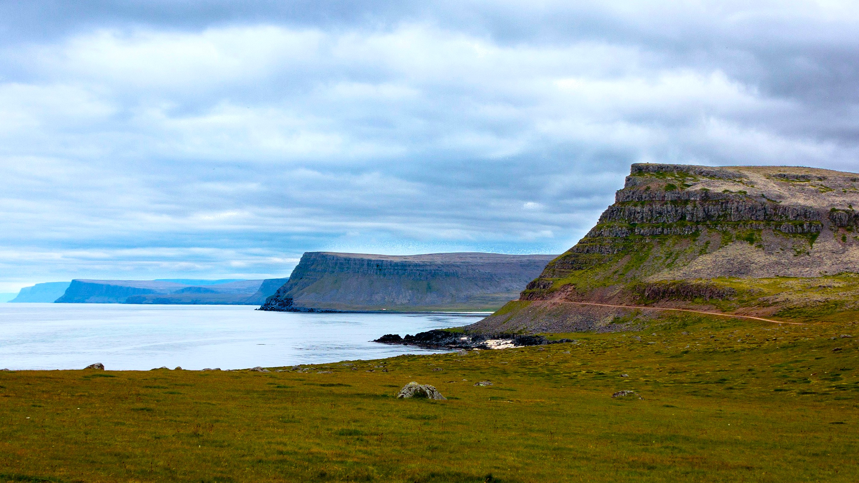
West Fjords
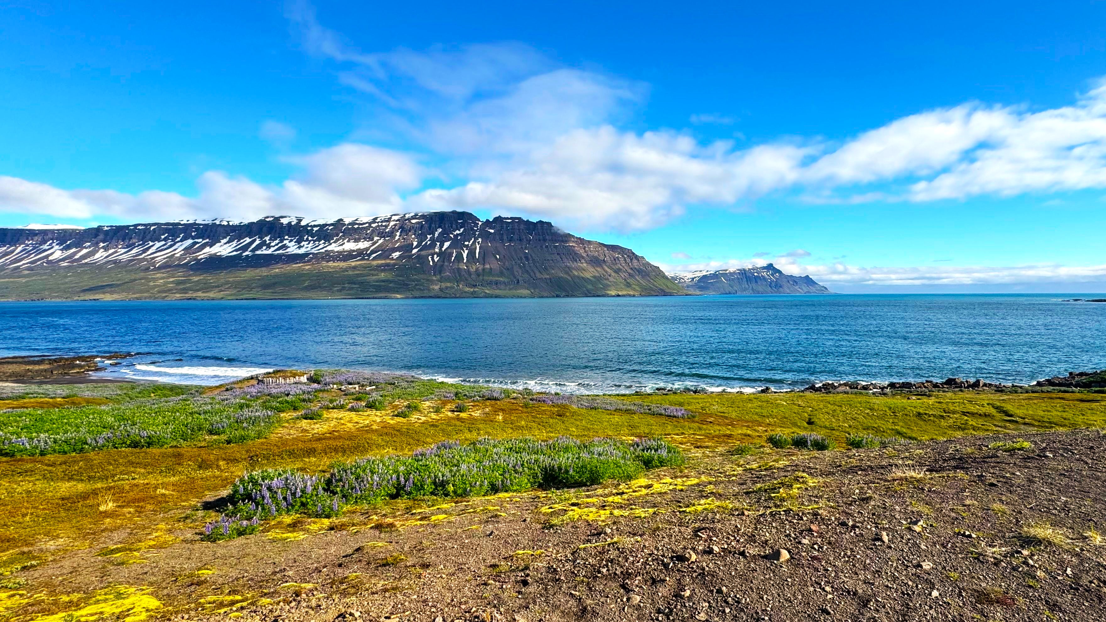
Vestfirðir represents a detour of 3 to 5 days minimum, but rewards with low tourist density and raw landscapes. Dynjandi, a 100-meter stepped waterfall, and the Látrabjarg cliffs, where puffins and gannets nest in June-July, are the highlights. The winding roads, sometimes closed from October to May, require an adapted vehicle and driving time. Our team in Reykjavik recommends this region to travelers with at least 14 days on site, in summer only to enjoy all access points.
Highlands
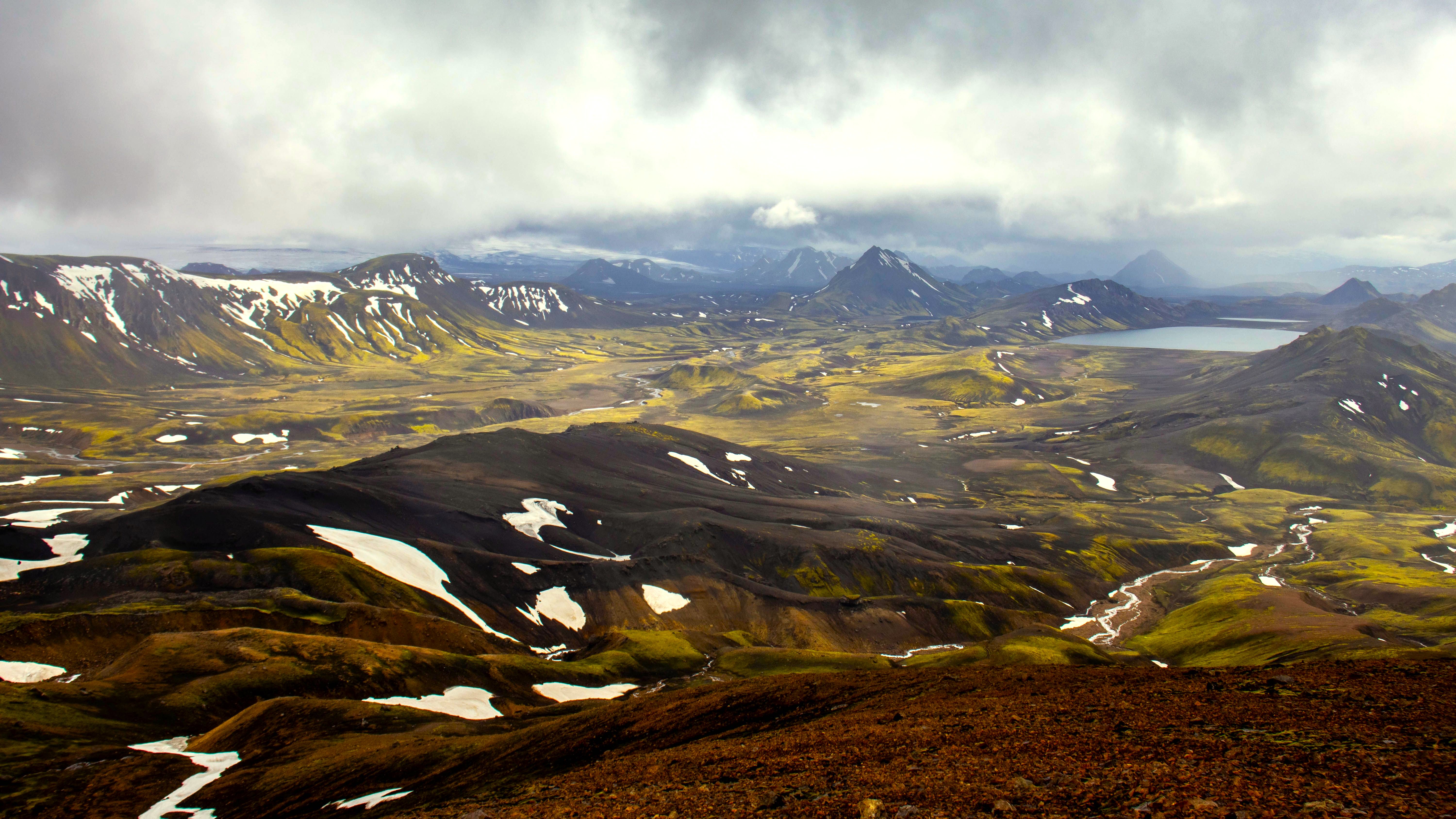
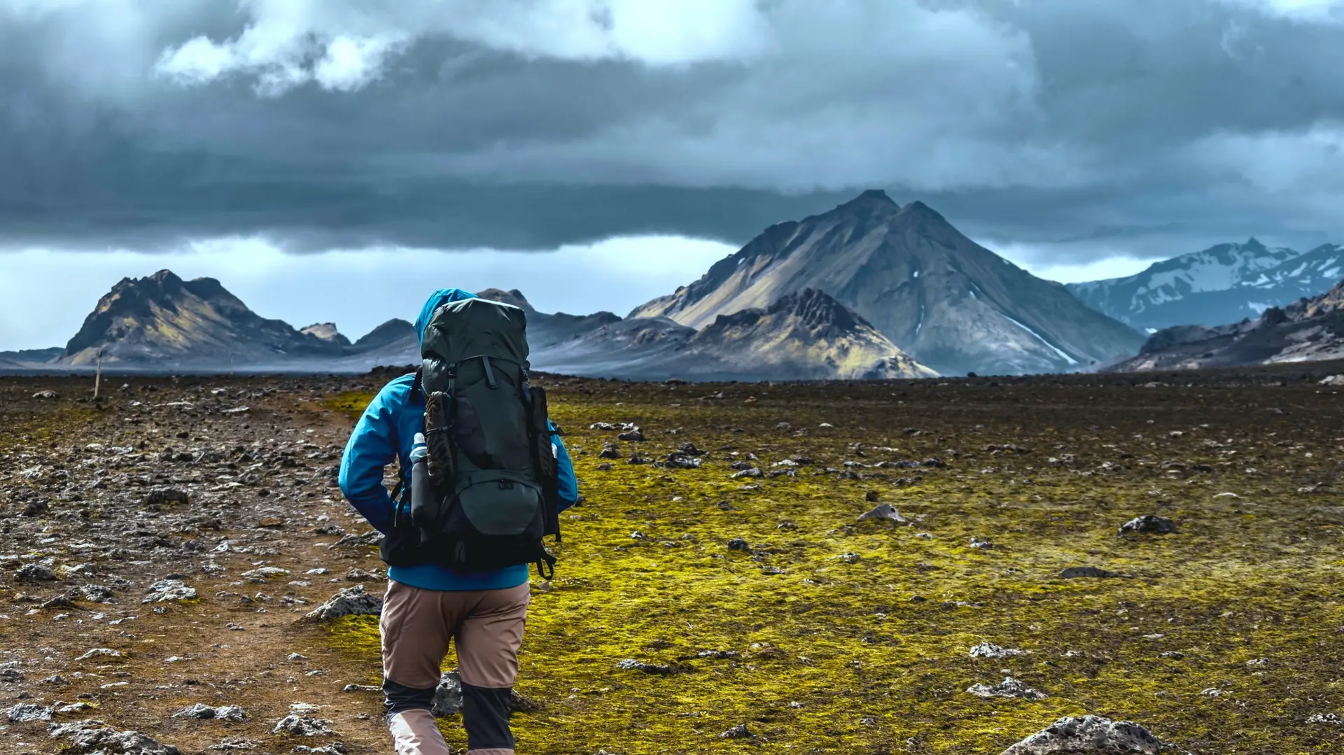
The centre of the island, uninhabited, opens only between late June and mid-September. Landmannalaugar, the starting point of the Laugavegur trek (55 km, 4 days to Þórsmörk), features colourful rhyolites, hot springs and lava flows from Hekla. Askja and Kerlingarfjöll complete the possible itineraries. Access is only by high-clearance 4x4 (F-roads), with mandatory river crossings. Temperatures remain cool even in July, 5 to 12°C, and weather changes quickly. We organise these crossings either independently or with a guide depending on the travellers' profile.
East Fjords
Between Höfn and Egilsstaðir, Route 1 winds along a succession of narrow fjords lined with small fishing ports: Djúpivogur, Seyðisfjörður, Borgarfjörður eystri. Seyðisfjörður, accessible via a mountain pass at 620 metres, retains the charm of a Norwegian village with its colourful wooden houses and welcomes the ferry from Denmark. Reindeer, introduced in the 18th century, live only in this region. Less visited than the south, ideal for slowing down for 2 to 3 days mid-itinerary. Borgarfjörður eystri offers one of the country's best puffin-watching opportunities in summer.
Explore by theme
Unique experiences tailored to every traveler.
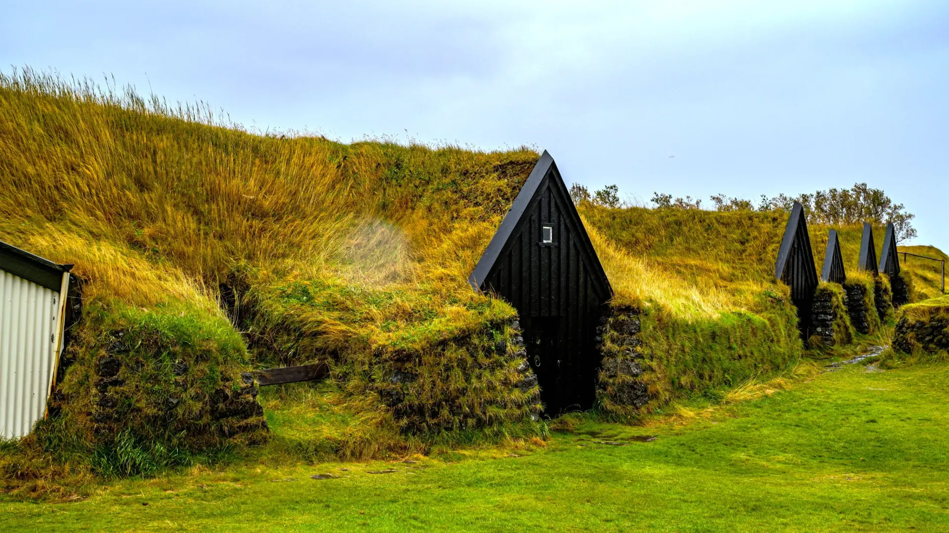
Culture & Heritage
Temples, musées, sites historiques
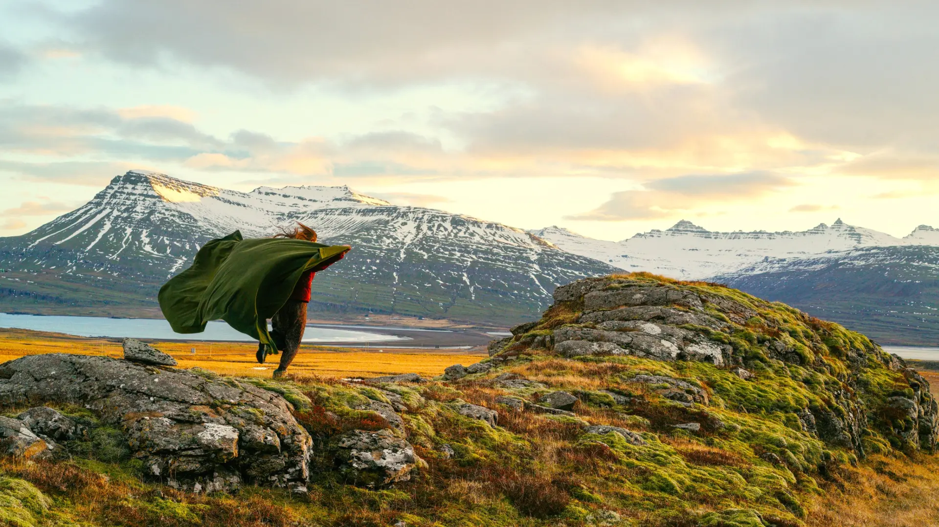
Nature & Landscapes
Parcs nationaux, montagnes, forêts
Sea & Beaches
Littoral, îles, sports nautiques
Wildlife & Biodiversity
Observation animale, sanctuaires, réserves
Activities & Adventure
Trek, kayak, escalade, sports outdoor

Gastronomy
Cuisine locale, marchés, cours de cuisine
We use cookies to improve your experience and measure our site's audience. You can choose what you accept. Learn more.