East Fjords
A succession of narrow fjords between Höfn and Egilsstaðir, fishing villages with colorful wooden houses and Iceland's only region where wild reindeer roam.
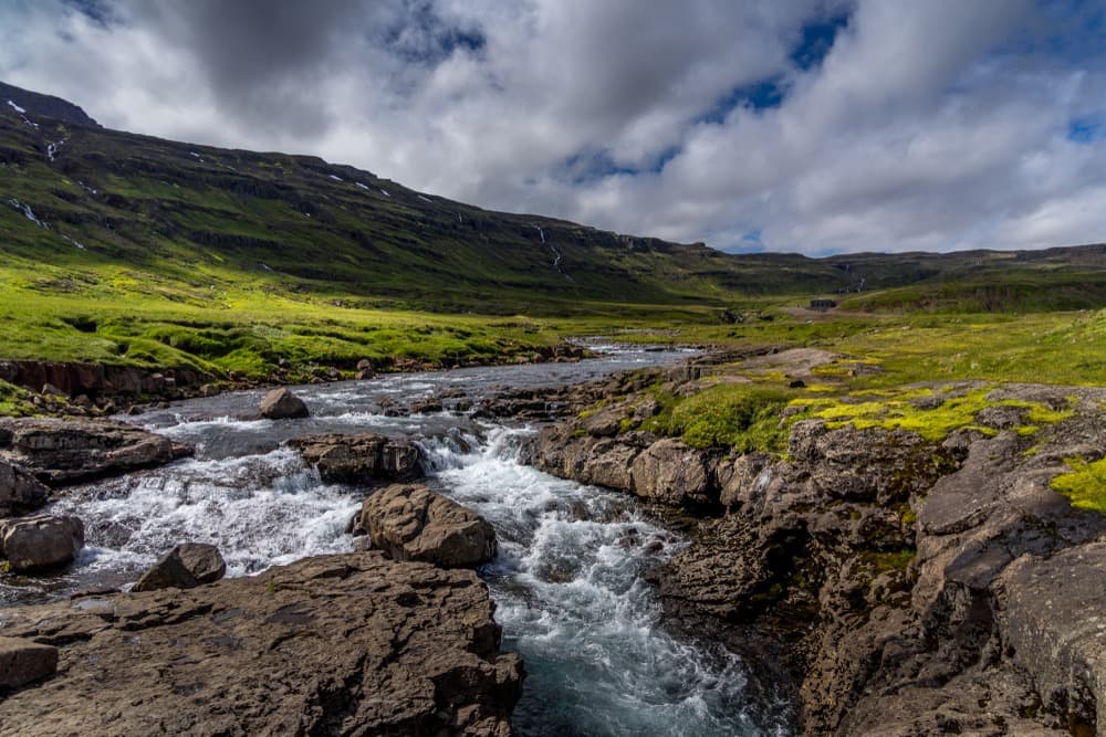
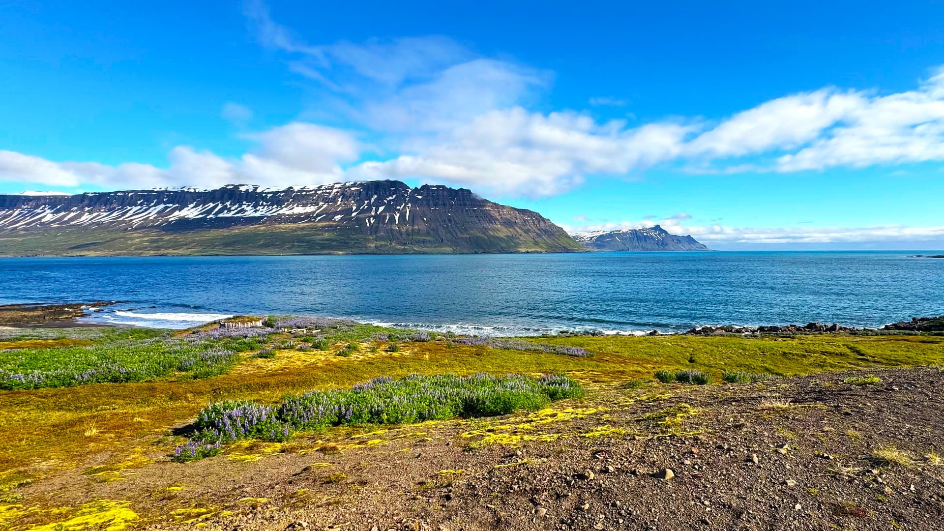
Between Höfn to the south and Egilsstaðir to the north, Route 1 leaves the glacial plains of Vatnajökull and winds around a succession of narrow fjords carved into basalt mountains. For roughly 270 kilometers, it hugs cliffs that drop straight into the sea, passes through small working fishing ports, and climbs at times over 600 meters to cross isolated mountain passes. This is the least traveled stretch of the ring road—where we send travelers seeking to slow down.
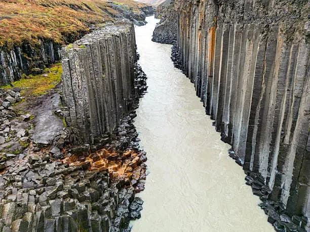
Geography rules everything here. The East Fjords are the product of glacial erosion on an ancient volcanic bedrock, among Iceland's oldest rock formations, dated to around 13 million years ago. The valleys are deep and narrow, and each village settled at the head of a fjord, relatively sheltered from westerly winds. Djúpivogur, Stöðvarfjörður, Fáskrúðsfjörður, Reyðarfjörður, Eskifjörður, Neskaupstaður—each has its own character, fishing fleet, and main street lined along the quay. Fáskrúðsfjörður preserves a particular French heritage, a legacy of Breton and Norman fishermen who sheltered here in the 19th century, complete with bilingual street signs and a small museum dedicated to this history.
Seyðisfjörður, reached from Egilsstaðir via the Fjarðarheiði Pass at 620 meters, is the village most of our travelers remember. The winding descent toward the fjord, following the Gufufoss waterfall, opens onto a cluster of wooden houses in bright colors, imported from Norway as prefabricated units in the early 20th century. It is also the arrival port for the Norröna ferry, which connects Denmark and the Faroe Islands, making it an alternative entry point to Keflavík for some European travelers. Norðurgata street, with its series of restored houses and the Bláa kirkjan, the blue church, gives the village rare architectural coherence for Iceland.
Wildlife also defines this region. Reindeer, introduced from Norway between 1771 and 1787, now live wild only in eastern Iceland. We regularly see them along the roadside above Breiðdalsvík or on the heights of Fljótsdalur, especially in winter when they descend toward the coast. For birdwatchers, Borgarfjörður eystri fjord, in the northern part of the zone, hosts a puffin colony from May to mid-August on the rock of Hafnarhólmi, observable from a platform just meters from the nests. It is one of the country's most accessible sites to see them without a boat.
The local economy still rests on fishing—herring, cod, and shrimp in particular—but the aluminum smelter in Reyðarfjörður, which opened in 2007, has altered the demographics of the central zone. For travelers, this means villages inhabited year-round, restaurants open outside the season in Egilsstaðir and Seyðisfjörður, and a life that doesn't depend solely on tourism. As for dining, we often point toward smoked fish from Djúpivogur, langoustines from Höfn just to the south, and beer brewed in Egilsstaðir.
Beyond the coast, the interior warrants a day. Lake Lagarfljót, stretching 25 kilometers and plunging 112 meters deep, winds between Egilsstaðir and the forest of Hallormsstaður, Iceland's largest woodland even if modest by continental standards. At the valley's end, Hengifoss waterfall plunges 128 meters between layers of red and black basalt, after a climb of roughly 2.5 kilometers. This blend—inhabited fjords on the seaward side and softer interior valleys toward Egilsstaðir—is what makes the region compelling.
To discover
Seyðisfjörður and the Fjarðarheiði Pass. Winding descent from 620 meters into an enclosed fjord, Norwegian wooden houses along Norðurgata street and a blue church at the water's edge.
Puffins of Borgarfjörður eystri. Viewing from mere meters away on the Hafnarhólmi platform, May through mid-August, without needing to board a boat.
Hengifoss waterfall and red basalt. A 2.5-kilometer walk above Lake Lagarfljót to a 128-meter drop framed by red and black volcanic strata.
French heritage of Fáskrúðsfjörður. Former Breton fishermen's dormitories converted into a museum, bilingual French-Icelandic street signs, a sailors' cemetery on the fjord shore.
Wild reindeer of the highlands. Iceland's only region where you encounter them regularly, especially in autumn and winter between Breiðdalur and Fljótsdalur.
When to visit
We recommend the East Fjords from late May through mid-September. June and July are the most stable months, with coastal temperatures between 9 and 14°C, days of 20 to 22 hours of daylight, and guaranteed access to all secondary roads, including the Route 94 track toward Borgarfjörður eystri. This is also the window for puffins, present through around August 15-20. May remains cool, around 5 to 8°C, but offers soft light and few crowds. September brings the first sunrises and autumn colors on the birches of Hallormsstaður.
From November to April, the region demands caution. The Fjarðarheiði Pass toward Seyðisfjörður closes regularly after snowfall, sometimes for several days at a stretch, and Route 1 itself can be cut off by winds across Berufjörður or Hvalnes sections. Coastal temperatures stay moderate, between -2 and 4°C, but black ice and gusts make driving demanding. We schedule this region in winter only with a 4x4 vehicle and a flexible itinerary.
Practical advice
Plan for a minimum of 2 nights in the region to grasp its measure, ideally 3 if you want to venture to Borgarfjörður eystri, which adds a day's round trip from Egilsstaðir. The density of experiences is less than on the south coast, but that is precisely the appeal: few tour buses, accommodations on a human scale, quiet evenings in villages of 200 to 700 inhabitants. Egilsstaðir, with its small airport connected to Reykjavík by 1 hour's flight, is the logistics hub if you want to save time, otherwise the region fits naturally between the South Coast and the North zone and Lake Mývatn in a 10- to 14-day ring road journey.
Comfort ranges from family guesthouses to small design hotels, notably in Seyðisfjörður and Egilsstaðir. The travelers who most enjoy it are those willing to slow down: gentle walkers, photographers, couples, or families with children from 7-8 years old who can handle long drives. For more serious hikers, the Víknaslóðir trails departing from Borgarfjörður eystri offer 5 to 7 days traversing between abandoned fjords. We often combine this region with the Highlands in summer via the F910 track from the east, for equipped and guided travelers.