Highlands
Volcanic desert spanning 40,000 km² accessible 10 weeks a year, between Landmannalaugar's rhyolites, Askja's caldera and 4x4 crossings on F-roads.
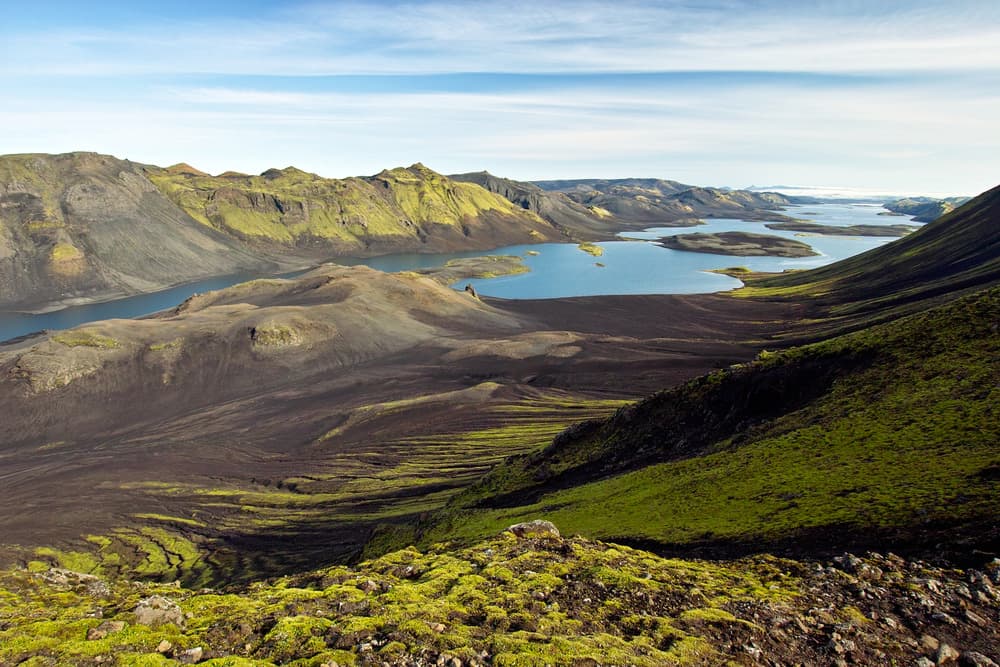
Iceland's Highlands occupy the centre of the island, a volcanic plateau spanning over 40,000 km² that remains uninhabited year-round. It is a true desert: no villages, no petrol stations, no mobile coverage across most of the terrain. The tracks, coded F (F26 Sprengisandur, F35 Kjölur, F208 towards Landmannalaugar), only open between late June and mid-September depending on snowmelt, sometimes later in colder years. The administrative road access is decided by Iceland's road authority on a case-by-case basis—we monitor the openings from Reykjavik to adjust our travellers' itineraries accordingly.
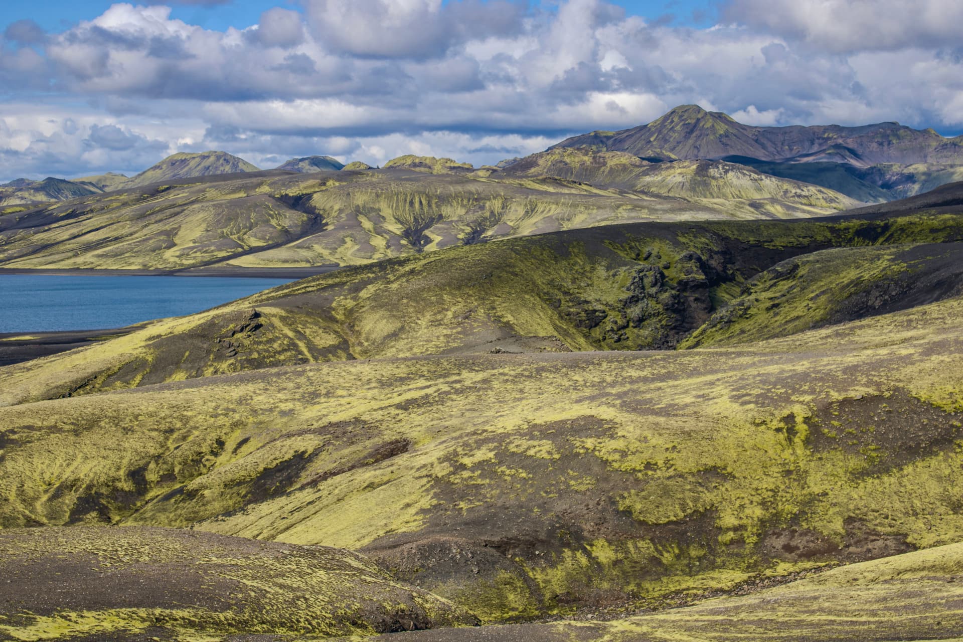
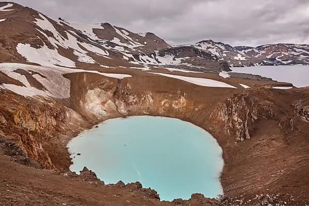
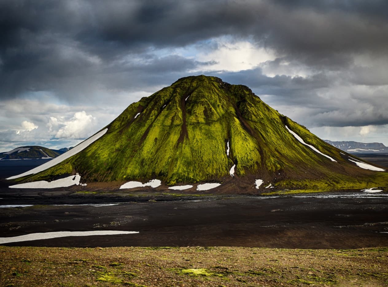
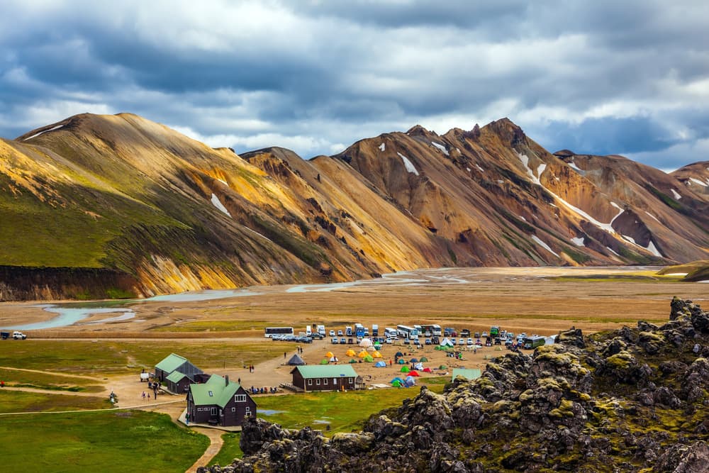
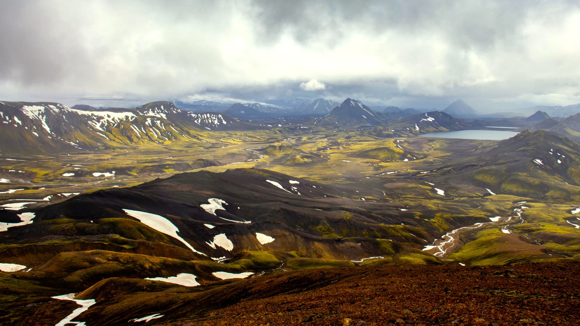
Geologically, you traverse the mid-Atlantic ridge in the open air here. The landscape alternates between solidified lava fields from recent eruptions (Holuhraun, 2014–2015), black ash deserts of the Sprengisandur, glaciers (Hofsjökull, Langjökull, Vatnajökull at the edge) and active geothermal zones. Landmannalaugar, in the south-west of the massif, owes its palette to rhyolite: sulphur yellow, moss green, russet brown, pale pink. Further east, Kerlingarfjöll rises with summits at 1,477 m above the geothermal valley of Hveradalir, where steam escapes from the ground at over 80°C. To the north-east, the caldera of Askja, formed by the 1875 eruption, shelters the lake Öskjuvatn and the crater Víti, swimmable at around 22°C depending on the season.
No agricultural activity survives here. Historically, the Highlands served as a summer shortcut between north and south for shepherds and outlaws in exile, the útilegumenn, whose stories persist in Icelandic sagas. The only buildings are mountain huts (skálar) managed by hiking associations Ferðafélag Íslands and Útivist, often reserved months in advance for nights in July–August. A few transhumance farms still organise the réttir, the sheep gathering in mid-September, when the Highlands truly empty out for the season.
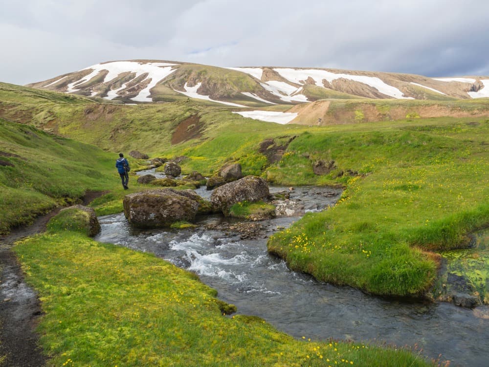
The most popular trek is the Laugavegur, 55 km over 4 days between Landmannalaugar and Þórsmörk, with four nights in mountain huts (Hrafntinnusker, Álftavatn, Emstrur, Þórsmörk). You can extend it with the Fimmvörðuháls, a further 25 km to Skógar on the south coast, which passes between the glaciers Eyjafjallajökull and Mýrdalsjökull. The route crosses several river fords (Bratthálskvísl, Þröngá) whose water level rises in the afternoon with snowmelt. For travellers who prefer to stay in a vehicle, we organise Sprengisandur or Kjölur crossings over 2 to 3 days, with stops at Hveravellir (hot springs in the middle of the desert) and nights at Kerlingarfjöll.
Access is exclusively by high-clearance 4x4, never by standard tourist vehicles: insurance does not cover damage on F-roads, and river fords require precise reading of the current. Depending on travellers' profile and experience, we offer either rental of a Land Cruiser or Defender equipped with detailed briefing from our team in Reykjavik, or a guide-driver who takes care of navigation and tricky passages. For Askja and the Holuhraun region, which require a full day of off-road driving from the north, a guide is nearly always essential.
Temperatures remain cool even at the height of summer: 5 to 12°C during the day at Landmannalaugar in July, sometimes 0°C at night, snow possible year-round above 800 m. Wind and horizontal rain are the norm, and weather can shift within an hour. This is why we plan itineraries with a buffer day—either to reschedule a stage or to make the most of a clear window over the massifs.
Highlights
Landmannalaugar and its rhyolites. Colourful massif in the south-west of the Highlands, with a natural hot spring basin at 36–40°C near the campsite. A 4–6 hour loop via Brennisteinsalda and Bláhnúkur captures the contrasting rock formations.
Laugavegur trek, 55 km over 4 days. From Landmannalaugar to Þórsmörk, four nights in mountain huts between obsidian fields, glacial river crossings and moss-covered valleys. Book the huts 6–9 months in advance for July–August.
Askja caldera and Holuhraun desert. A full day of off-road driving from Mývatn, with the swimmable crater Víti and the 2014 lava flow still warm in places. A zone accessible only with a guide experienced in the Lindaá river fords.
Kerlingarfjöll and the Hveradalir valley. Rhyolitic massif at the exact centre of the island, accessed via the F35. A 3-hour walk through a valley where steam rises from the ground amid persistent snow patches.
Sprengisandur crossing. 200 km of black ash desert between south and north, with stops at Nýidalur and Aldeyjarfoss on the exit. A full day of off-road driving that captures the scale of Iceland's emptiness.
When to go
The access window is narrow: F-roads typically open between 15 June and 5 July depending on the massifs, and close between 10 and 25 September. For Landmannalaugar and the F208, opening is often around 20–25 June. For Askja and the F88, usually mid-July in some years. Outside this period, the Highlands are only accessible by modified super-jeep with a specialised guide, and conditions become wintry from October onwards.
Peak season runs from 5 July to 25 August: days with 18–20 hours of daylight, temperatures of 8–14°C during the day at 600 m elevation, 3–8°C at night. July remains rainy (80–100 mm across the month at Landmannalaugar), August slightly drier. September, until the 15th, offers low-angle light, the first dark nights for aurora viewing, and far fewer people on the trails, but there is a risk of early track closure due to snowfall. We strongly advise against the first half of June: uncertain opening, rivers swollen with melt, mountain huts not yet staffed.
Practical advice
Allow a minimum of 3 days for a typical Landmannalaugar foray with a night on-site, 4 days for the complete Laugavegur trek, and 5–6 days for a genuine north-south traverse via Sprengisandur or Kjölur with a detour to Askja. The Highlands combine naturally with the South Coast (entry via F208 from Hella, exit via Þórsmörk towards Skógar) or with the North and Lake Mývatn (entry or exit via F26 or F88 towards Askja). A coherent 12–14 day combination links Reykjavik and South-West, South Coast, Highlands crossing, then North–Mývatn.
Comfort is basic: mountain huts in dormitories of 12–30 beds with personal sleeping bags, shared toilets, shared kitchen. A few bungalow options exist at Kerlingarfjöll and Hrauneyjar for those wanting a private room. The region suits self-sufficient hikers used to camping, experienced 4x4 travellers, and contemplatives willing to embrace rough conditions in exchange for silence and light. We do not recommend it for families with children under 10 (long bumpy tracks, river fords, harsh weather), except in a short format with a guide-driver over 1–2 days from the south.