Vatnajökull National Park (Skaftafell sector)
Skaftafell brings together in a compact area accessible glaciers, a cascade framed by black basalt columns and panoramic views over Europe's largest ice cap — a concentrated slice of Icelandic landscapes in the country's south.
Skaftafell is an iconic sector of Vatnajökull National Park, Europe's largest national park, located in southern Iceland. Wedged between Europe's largest ice cap and plains of volcanic sand, it concentrates glaciers, waterfalls, birch forests and snow-capped peaks across compact terrain. It is one of the rare places where you can witness in just a few hours the meeting of fire and ice that defines Iceland.
Quick Facts
- Access: Route 1 (Ring Road), approximately 330 km east of Reykjavik
- Entry: Park access is free; certain glacier excursions are paid (booking with local operators)
- Recommended duration: A full day for main hikes; two days to combine glacier and peaks
- Attire: Waterproof hiking boots essential; warm layers even in summer
- Glacier equipment: Crampons and ice axe mandatory on ice — provided by certified guides
- Accessibility: The visitor centre and some short trails are accessible; high-altitude hikes are not
What You'll See
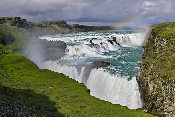
The Skaftafell sector offers a panorama of striking contrasts. The glacier tongue Skaftafellsjökull descends to the plain, accessible on foot from the visitor centre. The waterfall Svartifoss plunges over hexagonal black basalt columns, a setting that inspired the architecture of Reykjavik's Opera House. Higher up, the peak Kristínartindar offers views over the ice cap and black sand plains.
History and Context
Skaftafell was once an isolated farm, protected from glacial flooding by its position on a protrusion of land. Designated a nature reserve in 1967, it was integrated in 2008 into Vatnajökull National Park, established to protect the ice cap and the ecosystems surrounding it. The Vatnajökull glacier covers approximately 8% of Iceland's total land area.
Highlights of Your Visit
Svartifoss, the waterfall with basalt columns
The round-trip trail to Svartifoss is the most frequented in the park. The black basalt columns framing the waterfall are the result of slow lava cooling. The hike crosses a dwarf birch forest before reaching the viewing platform facing the cascade.
Hiking on Skaftafellsjökull Glacier
Certified guides offer two- to four-hour outings on the glacier tongue. You'll observe crevasses, blue ice and moraines. No glacier excursion should be attempted without a guide and appropriate equipment — the surface is constantly changing.
Kristínartindar and the Vatnajökull Panorama
This more demanding hike leads to a rocky promontory overlooking the ice cap. In clear weather, views extend to the black sand plains of Skeiðarársandur and the Öræfajökull mountains, which shelters Iceland's highest peak, Hvannadalshnjúkur.
Skaftafell Forest
Rare in Iceland, this forest of dwarf birch and willows offers a green contrast against the surrounding mineral landscapes. It is home to birds such as robins and blackbirds, uncommon in the rest of the country.
Photography Tips
The low-angle light of morning and evening (extended in Icelandic summer) accentuates the texture of Svartifoss's basalt columns. For the glacier, blue tones stand out best under overcast skies. In winter, the Northern Lights may appear above the ice cap from the park's higher elevations. Avoid approaching the glacier terminus without a guide for safety reasons — and photographic composition.
Location and Access
Skaftafell is located on Route 1, approximately 330 km east of Reykjavik. The drive takes about four hours without stops. Long-distance buses connect Reykjavik to Skaftafell during the summer season (operated by Strætó and Reykjavik Excursions). The park's visitor centre has a car park, toilet facilities and trail information. In immediate proximity are the Jökulsárlón glacier lagoon and the Diamond Beach, both accessible in under 30 minutes to the east.
Nearby Attractions
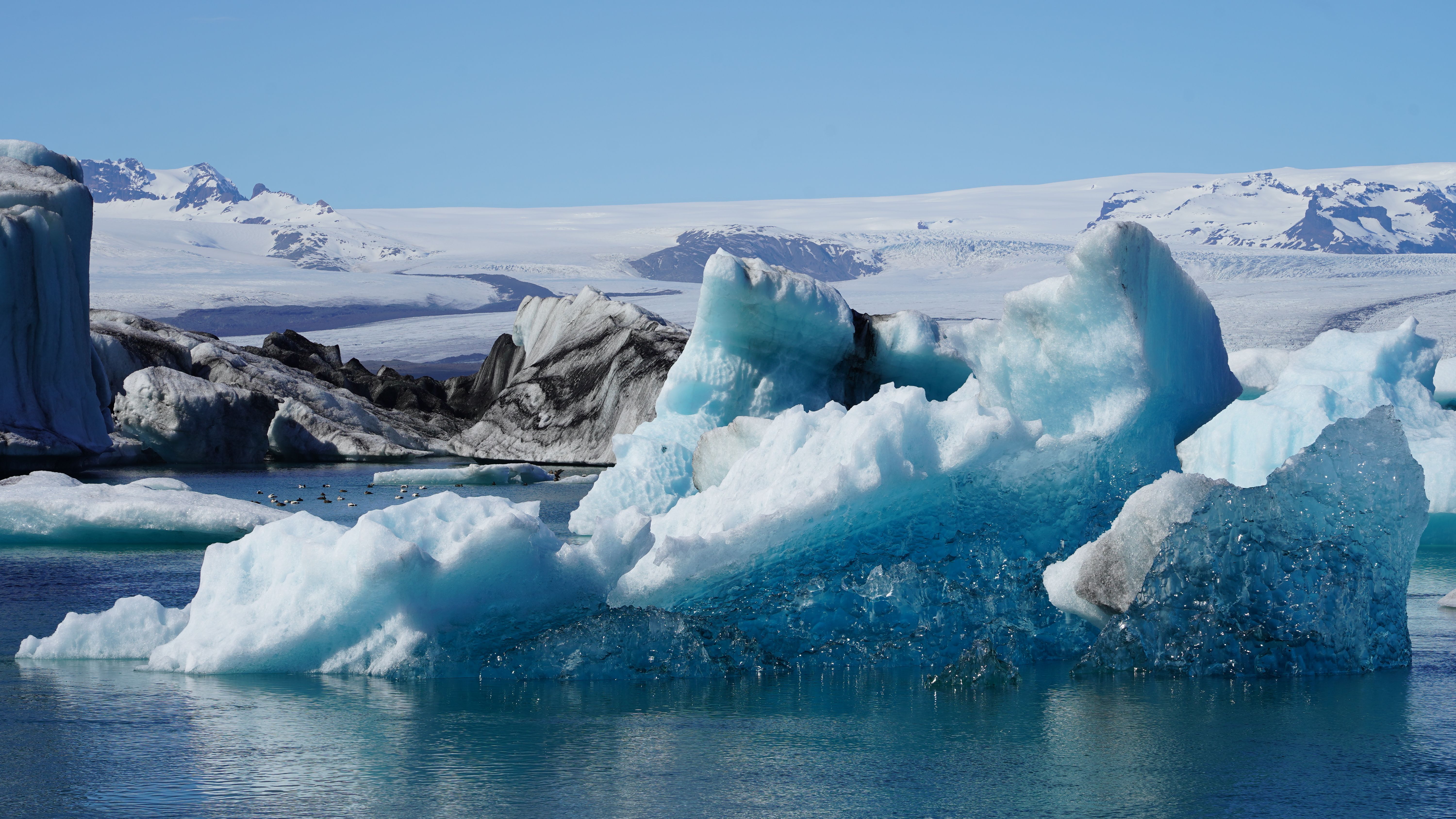
- Jökulsárlón Glacier Lagoon — Blue icebergs drifting in a glacial lake, less than 30 minutes to the east.
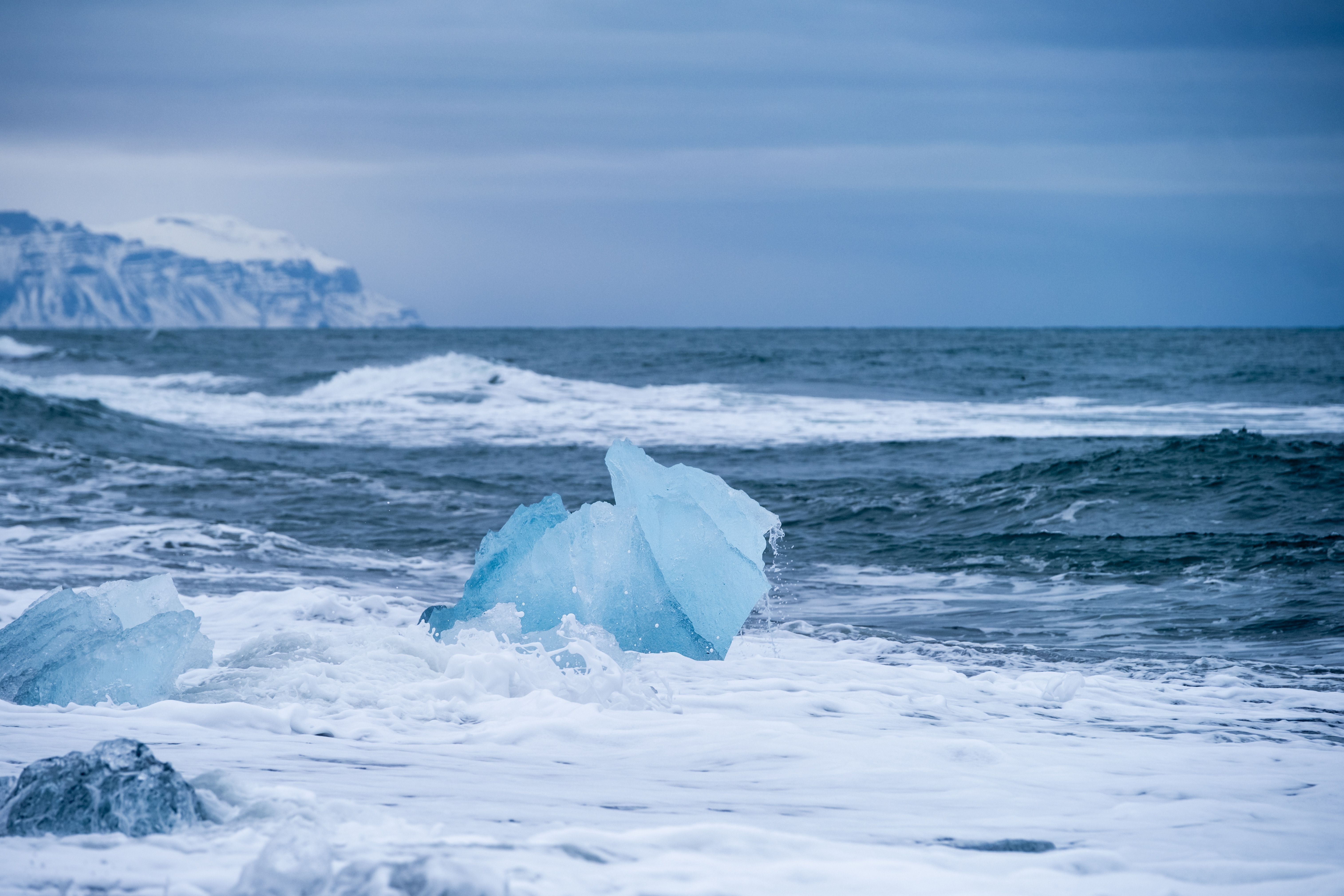
- Diamond Beach — Translucent ice blocks stranded on black volcanic sand, just across from Jökulsárlón.
- Fjaðrárgljúfur Canyon — A sinuous, verdant canyon about an hour to the west, accessible from Route 1.
- Kirkjubæjarklaustur — The nearest village to the west, a supply and accommodation point for park visitors.
Frequently asked questions
Summer (June–August) offers clear trails, long hours of daylight and optimal conditions for hiking. In winter, access remains possible but some trails are snow-covered; this is peak Northern Lights season.
No. Skaftafellsjökull glacier is dangerous without equipment and professional supervision. Invisible crevasses and unstable surface make any solo excursion risky. Book with a certified operator.
The round-trip trail to the waterfall takes roughly one and a half to two hours at a leisurely pace. The elevation gain is moderate and the trail is well-marked.
Yes, both sites are less than 30 minutes apart. Plan a full day starting early from Reykjavik or staying overnight nearby beforehand.
A campground is available at Skaftafell. The nearest hotels and guesthouses are located in Kirkjubæjarklaustur to the west or in scattered farms and inns along Route 1.
Yes, photography is allowed throughout the park. On the glacier, stay within zones marked by your guide for safety, which also determines your framing options.
Attractions in Vatnajökull National Park (Skaftafell sector)
Diamond Beach
Sur la côte sud-est de l'Islande, Diamond Beach étale ses blocs de glace translucide sur un sable noir volcanique. Un paysage en perpétuel mouvement, accessible toute l'année depuis la Route 1.
Jökulsárlón
Jökulsárlón est un lac glaciaire du sud-est de l'Islande où des icebergs bleutés dérivent vers l'Atlantique. Phoques, plage des diamants et croisières entre les glaces en font l'un des sites naturels les plus spectaculaires du pays.
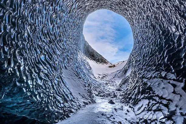
Vatnajökull
Vatnajökull couvre 8 % de l'Islande et cache sous sa glace des volcans actifs. Randonnées glaciaires, grottes de glace en hiver et lagune aux icebergs de Jökulsárlón en font un site UNESCO incontournable du sud-est islandais.
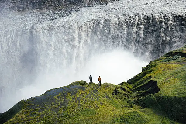
Chute de Dettifoss
Dettifoss, dans le parc national de Vatnajökull, est la cascade la plus puissante d'Europe. Avec 44 mètres de chute et un débit moyen dépassant 190 m³/s, elle s'impose comme l'un des sites naturels les plus impressionnants d'Islande.
Want to discover this destination?
Our local advisors design your tailor-made trip.