6 articles to prepare your trip
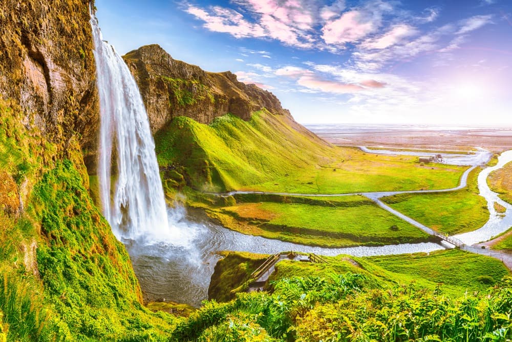
Seljalandsfoss
A 65 m waterfall on Iceland's south coast, 120 km from Reykjavik. Its distinctive feature: a trail allows you to walk behind the water curtain.
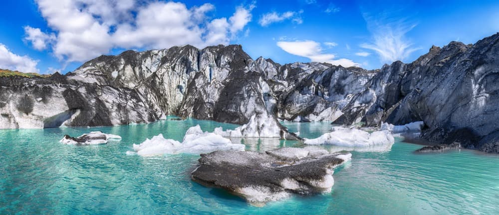
Iceland's fourth-largest ice cap, Mýrdalsjökull blankets the Katla volcano and concentrates ice caves, glacier hiking and trekking north of Vík.
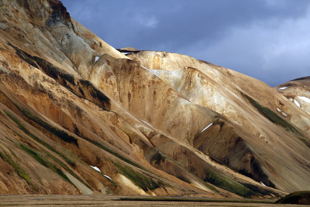
An active volcano standing at 1,488 m in southern Islande, Mount Hekla offers a day hike and direct access to the Landmannalaugar massif.
FIMMVORDUHALS
A 25 km trail between Skógar and Þórsmörk, the Fimmvörðuháls crosses waterfalls, glaciers and lava fields from the 2010 Eyjafjallajökull eruption.
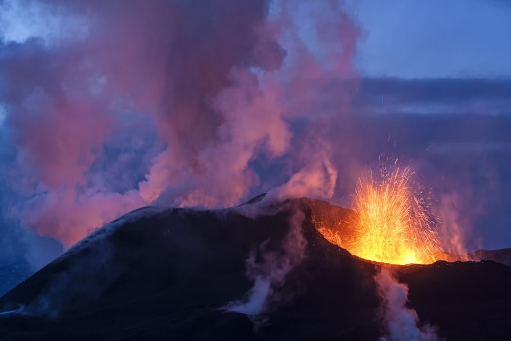
Stratovolcano capped by a glacier in south Iceland, famous for its 2010 eruption that paralyzed European aviation.
Faille d'Eldgjá
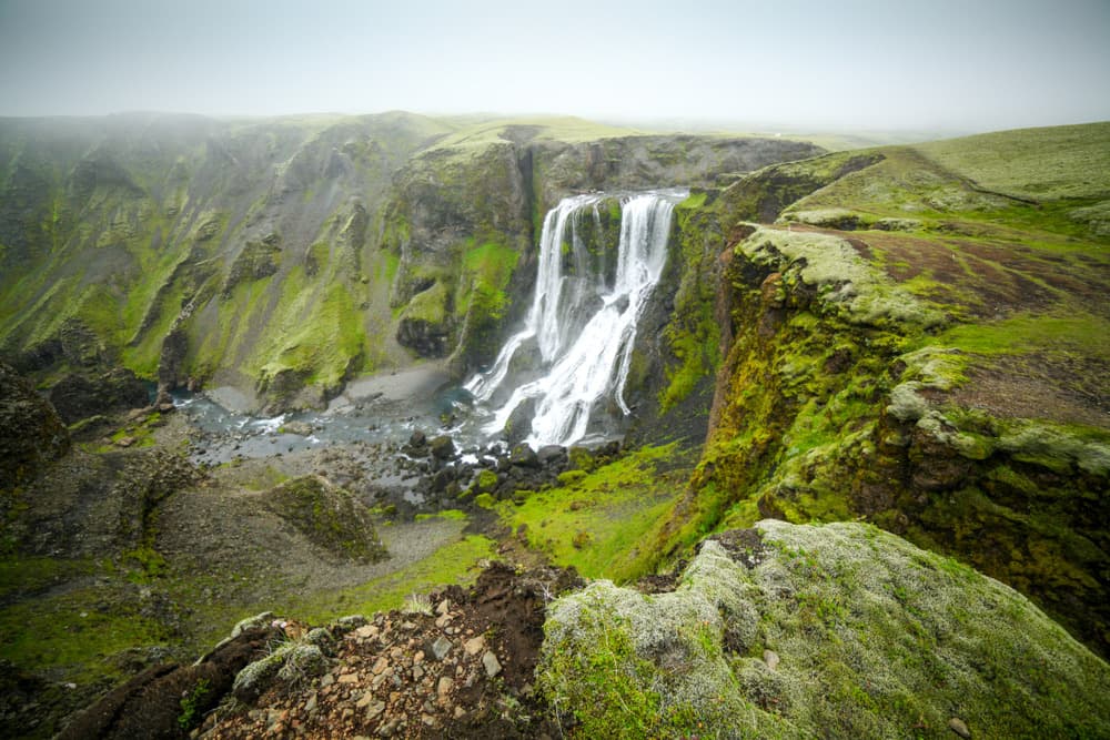
In the heart of Iceland's Highlands, Eldgjá tears across the landscape for 40 km. Born from the Katla eruption in 934, this fiery rift leads to the Ófærufoss waterfall.
6 of 6 results
We use cookies to improve your experience and measure our site's audience. You can choose what you accept. Learn more.