Sólheimajökull
Sólheimajökull
A glacial tongue of Mýrdalsjökull streaked with volcanic ash, Sólheimajökull can be explored on foot to the glacier front or on a guided ice-climbing expedition, between blue seracs and meltwater lagoons.
Sólheimajökull is a glacial tongue descending from the Mýrdalsjökull volcano in South Iceland. Accessible from Route 1, this black and white glacier—streaked with volcanic ash—offers an ice-hiking terrain suited for beginners. Its rapid retreat, visible to the naked eye, also serves as compelling evidence of climate change.
Essential information at a glance
- Access: free parking at the end of a 3 km unpaved track from Route 1 (Ring Road), between Skógafoss and Vík.
- Independent hiking: you can walk to the glacier front without a guide; progression onto the ice itself requires crampons and a certified guide.
- What to wear: waterproof hiking boots are essential, warm layers even in summer.
- Recommended duration: 30 minutes for views from the glacier front; 3–4 hours for a guided ice expedition.
- Accessibility: the path to the glacier front is partially accessible, though the surface remains uneven.
What you'll see
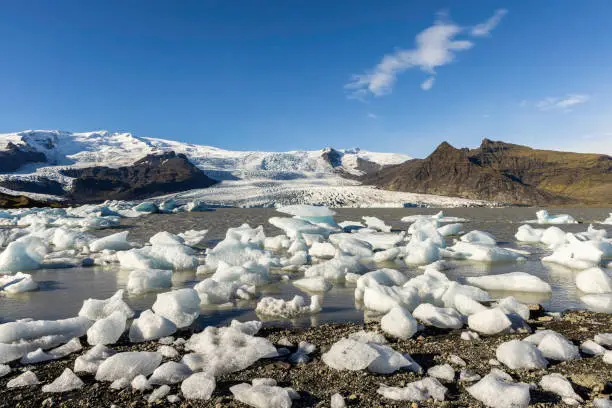
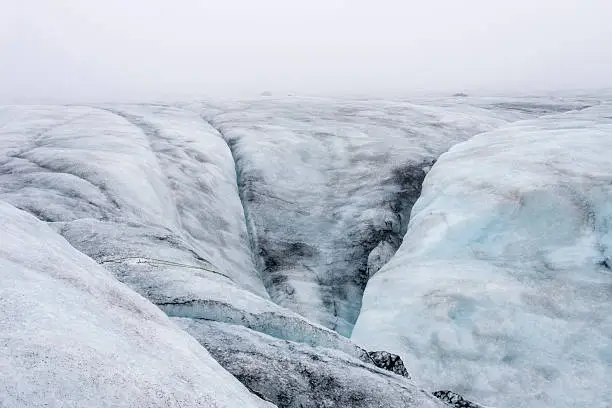
The glacier displays a tumultuous surface: blue seracs, crevasses, moulins and layers of black ash from Katla eruptions. A proglacial lagoon has formed at the foot of the glacier front, fed by meltwater. Markers planted along the shores indicate the glacier's position at different dates—the retreat is striking.
History and context
Sólheimajökull is an outlet glacier of Mýrdalsjökull, itself perched atop the Katla volcano, one of Iceland's most active. Subglacial eruptions have triggered devastating jökulhlaups (glacial outburst floods) across the coastal plain in the past. Since the early 20th century, the glacier has retreated several kilometers; scientists monitor it as a regional climate indicator.
Highlights of your visit
Ice hiking
Equipped with crampons and guided by a local expert, you traverse between seracs and crevasses. The ice ranges in tone from milky white to deep blue depending on density. Guides explain the formation of glacial structures and the site's volcanic history.
The proglacial lagoon
Formed in recent decades by accelerated melting, this small gray-green lake mirrors the glacier front. It's the most accessible and most photographed vantage point on the site, requiring no special equipment.
Volcanic ash stripes
The dark bands striating the ice are layers of tephra deposited during successive Katla eruptions. They allow you to "read" volcanic history directly within the glacial mass.
Photography tips
Low-angle light at dawn or dusk accentuates the serac relief and emphasizes the black-and-white contrasts. From the lagoon's edge, a wide-angle lens captures both the glacier front and its reflection. In winter, a northern lights display above the glacier is possible on clear nights—distance yourself from car headlights to preserve your night vision.
Location and access
The glacier sits roughly 30 km east of Skógafoss and about 30 km west of Vík along Route 1. A marked track leads to the parking area. No regular public transport; a rental car or an organized tour from Reykjavík are the usual options. Many English-speaking agencies offer excursions from the capital, often combined with Skógafoss or Þórsmörk national park.
Nearby attractions
- Skógafoss — one of the south's great waterfalls, accessible on foot from Route 1, with a stairway skirting the cliff face.
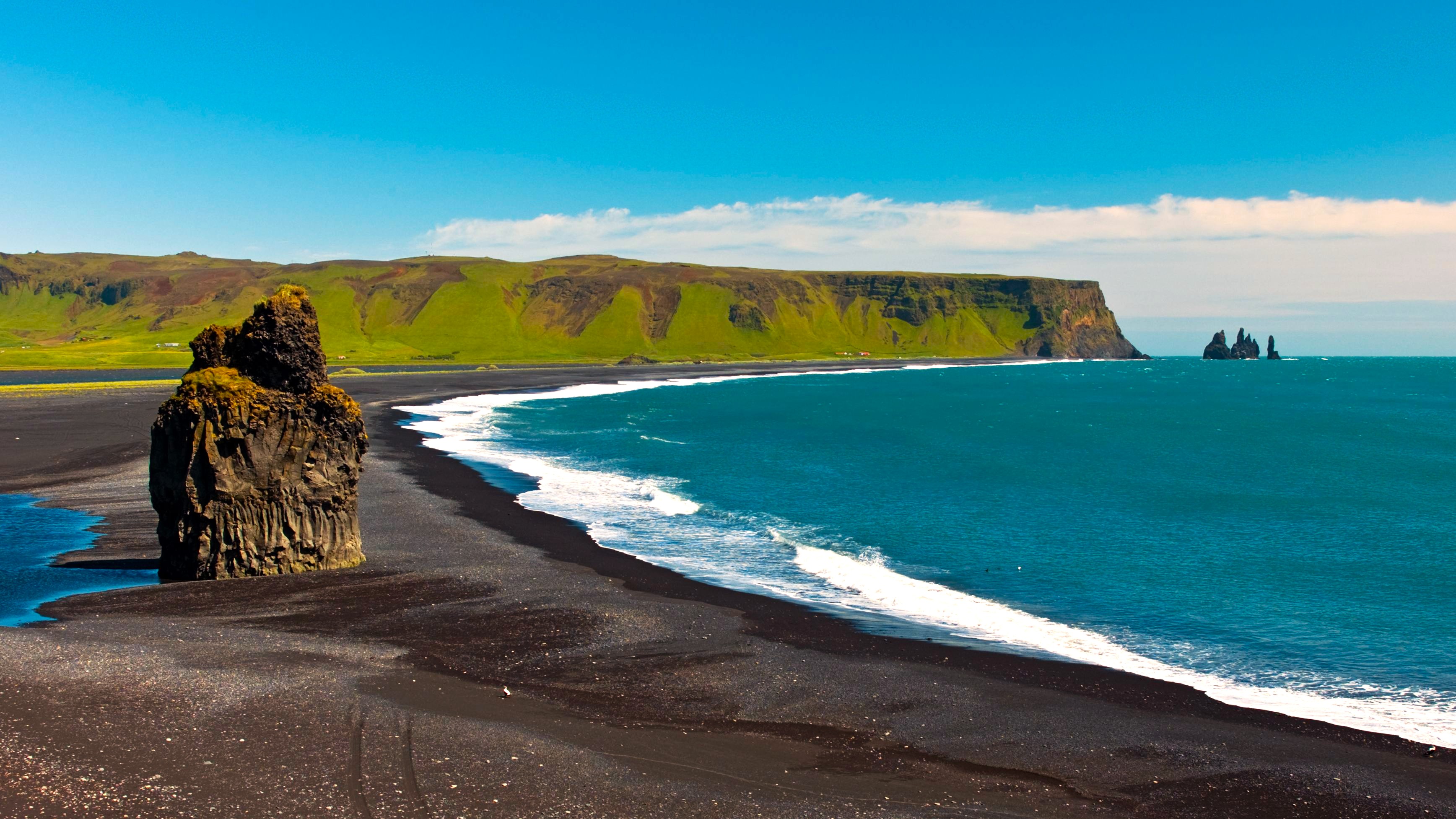
- Vík í Mýrdal — coastal village known for its black-sand beach and basalt columns at Reynisfjara.
- Reynisfjara — black-sand beach with basalt organs, watch for sudden waves.
- Þórsmörk — steep valley nestled between three glaciers, accessible by 4×4 or specialized shuttle.
Frequently asked questions
No. Progression on the ice (beyond the glacier front) is reserved for groups accompanied by a certified guide equipped with crampons and safety gear. Walking alone on an active glacier carries real risks of crevasse falls.
The glacier is accessible year-round. In summer, daylight is extensive and weather milder. In winter, low light creates dramatic atmospheres and the northern lights are possible. Spring and autumn offer a good balance between crowds and conditions.
Waterproof hiking boots with rigid soles, waterproof trousers, multiple warm layers and a windproof jacket. On the ice, crampons are provided by glacier-hiking operators.
Yes, both sites are close to each other on Route 1. A half-day suffices for Skógafoss; allow an additional half-day if you take a guided glacier expedition.
Yes, with no particular restrictions. Protect your camera from moisture and cold. Some guides ask you not to stray from the group when photographing near crevasses.
The access track from Route 1 is usually passable in winter with a standard vehicle, but conditions can vary. Check road conditions on road.is before heading out.
Interested in this visit?
We can include it in your personalised itinerary.