KATLA
KATLA
Katla, subglacial volcano north of Vík: 10×14 km crater beneath Myrdalsjökull, Kötlujökull ice cave and Iceland's pioneering geopark.
Katla is one of Iceland's most closely monitored subglacial volcanoes. Located beneath the Myrdalsjökull ice cap, north of the village of Vík, it reaches 1,512 metres in elevation and features a crater measuring 10 km by 14 km. Its historical eruptions and ice cave make it one of the major sites on the south coast, accessible approximately three hours' drive from Reykjavik.
Why visit Katla
Katla brings together several features rarely found on a single Icelandic site: a powerful active volcano, a vast glacier, a cinematically striking ice cave, and a geopark dedicated to ecotourism. The volcano erupted roughly twenty times between 930 and 1918, averaging once every fifty years. This regularity, combined with how long it has been since the last eruption, makes it a permanent object of study for volcanologists.
The site also serves as a practical starting point for exploring the south coast, the Mount Hekla area, and the southern Highlands.
History and legend
In Icelandic, Katla means "kettle" or "cauldron". The name comes from a local legend: Ketill (Katla) was a woman with a vicious temperament, owner of magical trousers that freed the wearer from all fatigue. A shepherd named Barði stole them one day without warning to search for lost sheep in the mountains. On his return, an enraged Katla killed him and stored his body in a barrel filled with skyr.
Over the winter, the curdled milk ran out and the risk of discovery grew. Katla fled to a nearby mountain, where she vanished. Local tradition holds that she triggered a massive jökulhlaup at that moment, one of those sudden glacial floods that characterize subglacial eruptions in Iceland.
From a geological standpoint, nearly twenty eruptions have been documented between 930 and 1918, the date of the most recent one. Katla remains one of the country's most closely monitored volcanoes.
What to see and do
The volcano and its crater
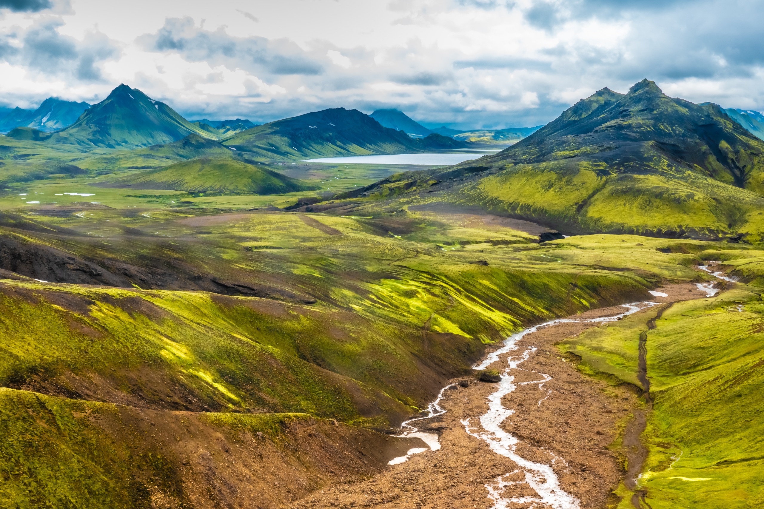
Katla's crater measures roughly 10 km wide by 14 km long and remains buried beneath ice. On clear days, the volcano is visible from the Ring Road on the south coast, without necessarily leaving the main highway. It sits within the same volcanic zone as Hekla, between Myrdalsjökull, Mýrdalssandur, and Eyjafjöll.
Katla ice cave
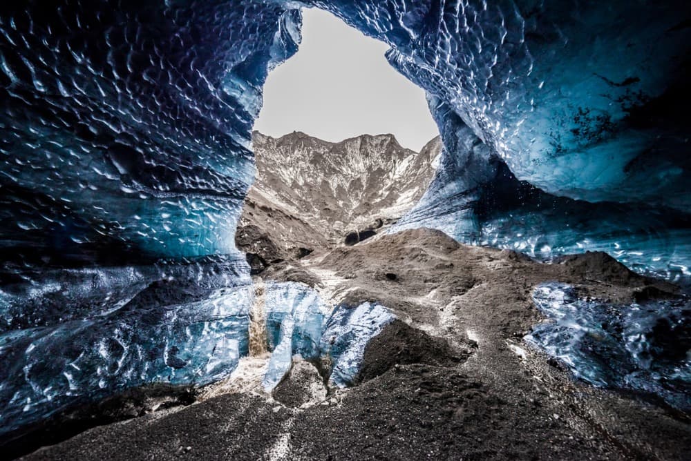
The Katla ice cave is located in the Kötlujökull glacier, at the outlet of the Myrdalsjökull. Its blue walls streaked with ash inspired the "Dragon Glass Cave" in Game of Thrones. Visits must be made with an experienced guide equipped for glacier travel.
Katla Geopark
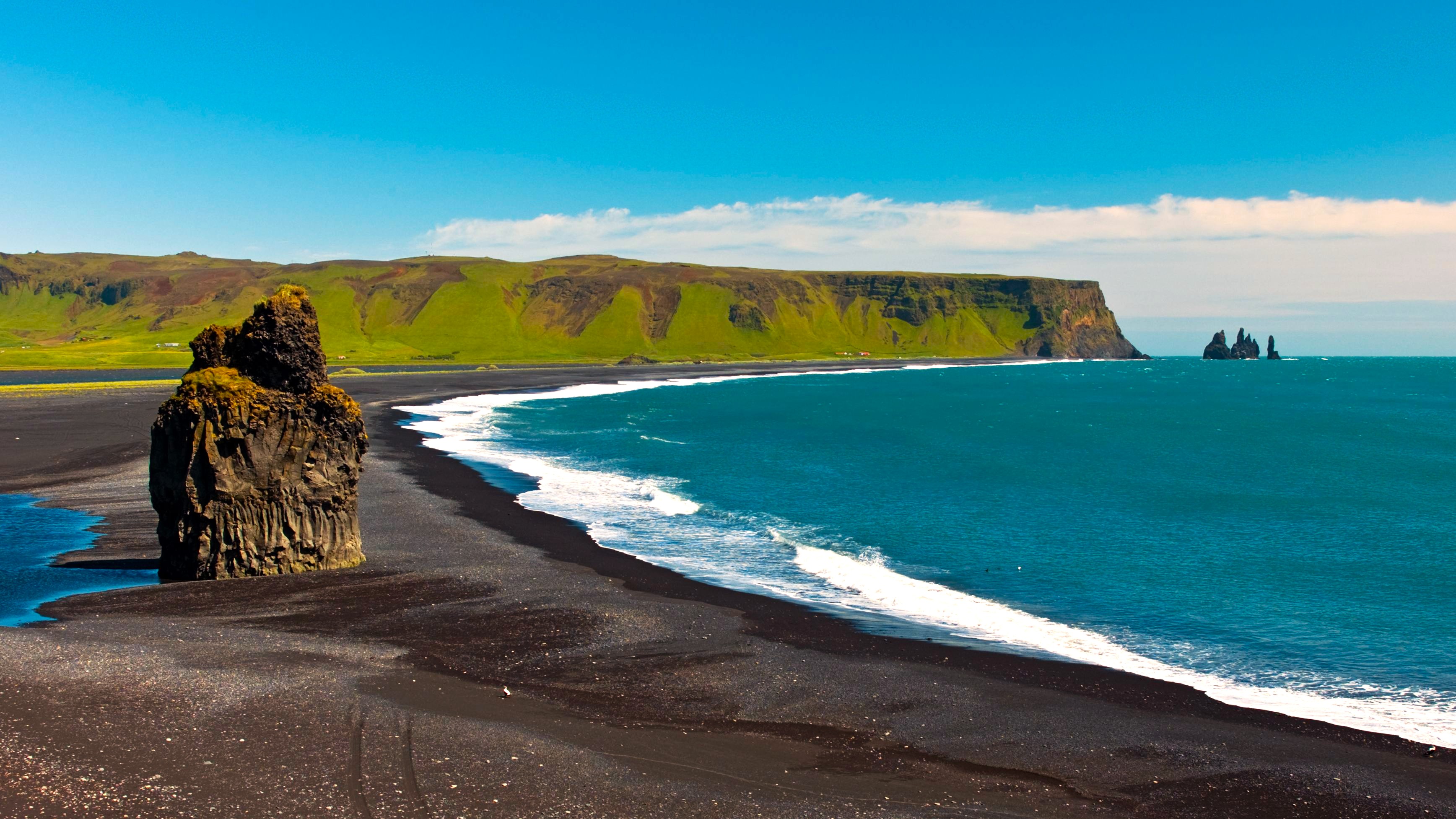
The Katla Geopark is Iceland's first geopark. It was established to preserve an area shaped by active volcanoes, glaciers, black sand beaches, glacial rivers, lava flows and waterfalls, and to structure local ecotourism. The region demonstrated its power during the Eyjafjallajökull eruption in 2010 and the Grímsvötn eruption in 2011, which disrupted European air traffic.
On-site, several activities are available: glacier hiking, ice cave exploration, horseback riding or 4x4 excursions across the geopark, bathing in geothermal pools in nearby villages. In Vík, the Icelandic Lava Show recreates lava flows live, inspired by Katla's eruptions.
Practical information
- Elevation: 1,512 m
- Crater: 10 km × 14 km, beneath Myrdalsjökull (Iceland's 4th largest glacier)
- Site access: free; ice cave visits are paid via an operator
- Guide: mandatory for the cave and glacier outings
- Equipment: hiking boots, warm and waterproof clothing, crampons provided by operators
When to go
The Katla region can be visited year-round, but conditions vary considerably by season. From June to September, Highland tracks are passable, days are long, and horseback riding or 4x4 outings are more accessible. In winter, the glacial landscape is at its most dramatic and the ice cave is at its best, but access depends on weather and more comprehensive equipment is necessary.
Interior roads (F-tracks) generally remain closed outside the June-September period due to snow and river crossings.
How to get there
From Reykjavik, allow approximately three hours' drive via the Ring Road (Route 1) heading towards the south coast. The route passes through Selfoss then Hvolsvöllur before reaching Vík, the main reference village for accessing Katla. From Vík, you turn onto an earth track leading to the foot of Myrdalsjökull. The final section is on foot or by super-jeep depending on the operator. For the ice cave, departures are typically organised from Vík.
Nearby attractions
- Myrdalsjökull — the ice cap covering Katla, the country's 4th largest glacier.
- Mount Hekla — another major volcano in the same volcanic zone.
- Mælifell — an iconic volcanic cone in the southern Highlands.
- Landmannahellir — a hiking base in the Highlands.
- Strútslaug hot springs — geothermal bathing in pristine nature.
FAQ
Frequently asked questions
Planning your trip
Katla fits naturally into a comprehensive itinerary along Iceland's south coast and Highlands. To build your journey, explore our Iceland travel packages and their stages around Myrdalsjökull.
Interested in this visit?
We can include it in your personalised itinerary.