Laugavegur Hiking Trail
Laugavegur Hiking Trail
55 km between Landmannalaugar and Þórsmörk through rhyolite, obsidian lava, hot springs and glacial valleys: complete guide to the Laugavegur trek.
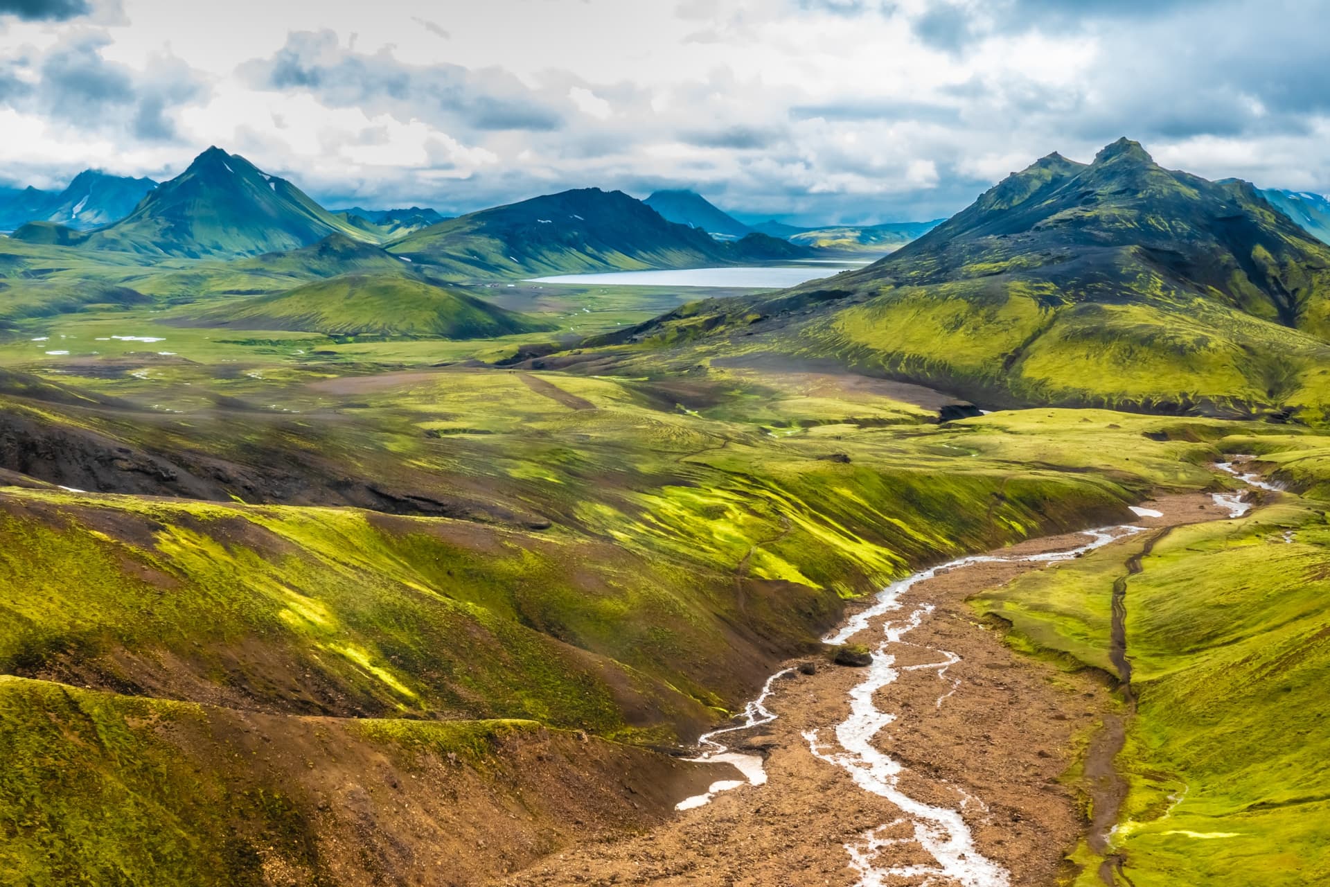
The Laugavegur trail connects Landmannalaugar to Þórsmörk over 55 km, through the Highlands of southern Iceland. Ranked by National Geographic among the world's most beautiful routes, it crosses rhyolite mountains, obsidian lava fields, hot springs, black sand plains and a forested glacial valley. The hike takes two to five days depending on pace and chosen extensions to Skógar.
Why hike the Laugavegur
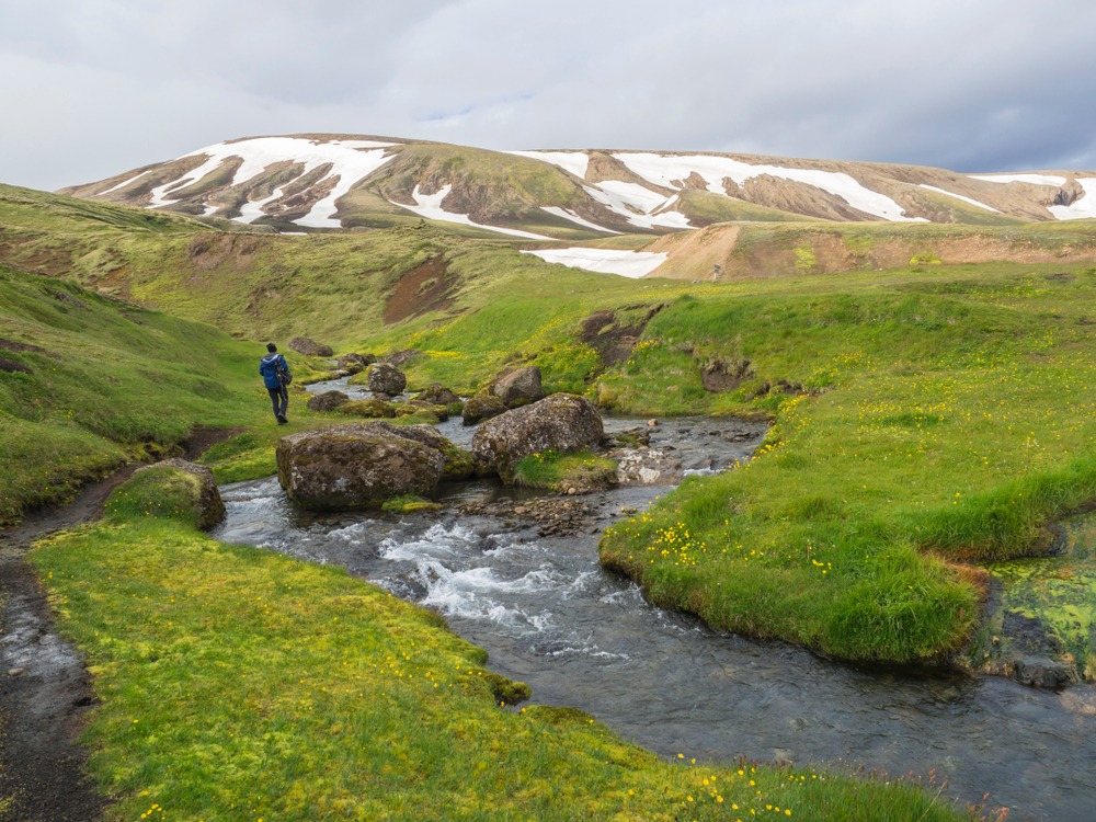
Laugavegur concentrates rare geological diversity within just a few dozen kilometres: active geothermal zones, glaciers, river crossings, sandurs and emerging forests. The trail is marked, dotted with mountain huts and campsites, making it accessible to any hiker in good physical condition, even without alpine experience. Today it is Iceland's most popular trekking itinerary, yet retains its wild character: outside the summer season, the Highlands remain closed and uninhabited.
Name origin and history
Laugavegur (or Laugavegurinn) literally means "the road of hot springs", referring to the geothermal activity that punctuates the entire route. Since 1997, an ultra-marathon is organised each July along the full trail, attracting endurance runners from around the world.
The Eyjafjallajökull eruption in 2010 affected the southern section of the trail, covering some sections with ash and altering the drainage of several watercourses. Rehabilitation work has been carried out since to restore the markers and secure the passages.
The itinerary stage by stage
Stage 1 — Landmannalaugar → Hrafntinnusker
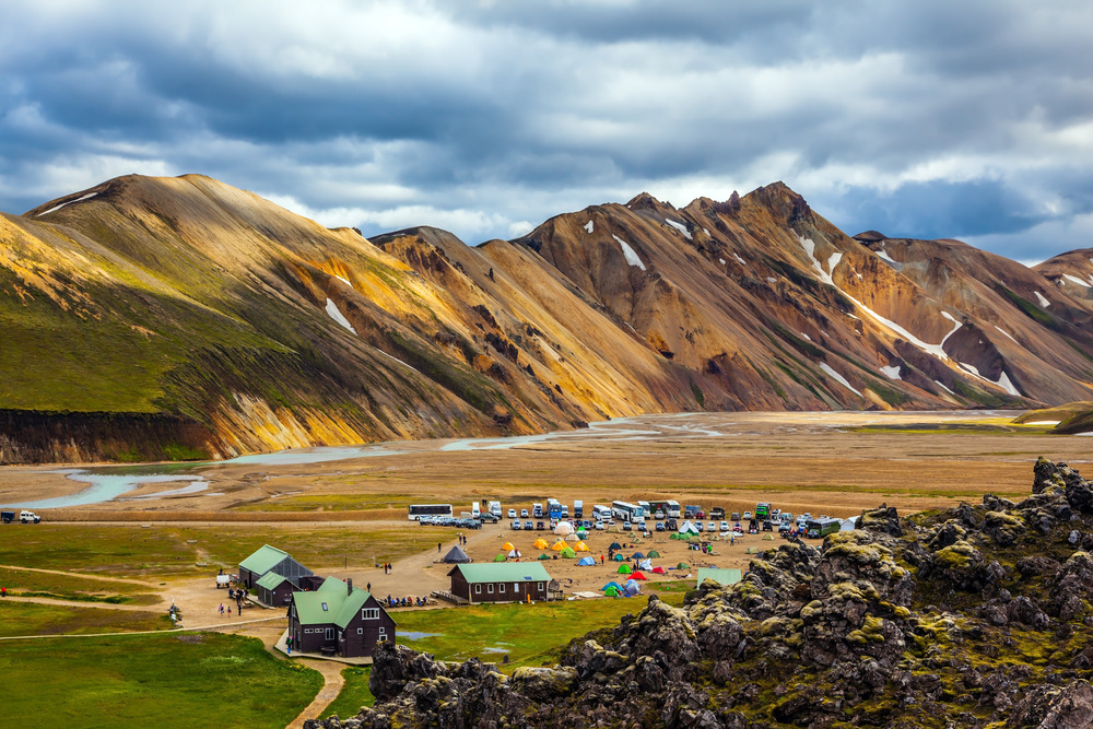
The departure begins from the Landmannalaugar massif, crossing the Laugahraun lava fields. The trail then skirts the rhyolite summit of Brennisteinsalda, before crossing a plateau to the Storihver geothermal site. The final section progresses through masses of obsidian to Hrafntinnusker. The black sandy soil, sometimes shrouded in mist, can make reading the trail difficult: marker posts, spaced roughly ten metres apart, mark this passage.
Stage 2 — Hrafntinnusker → Álftavatn
The route crosses a plateau of sand and snow with multicoloured rocks. Several snow bridges allow crossing the ravines carved by meltwater. A short but steep climb opens a clear view over the rhyolite mountains; a neighbouring peak can be climbed as a side trip. The descent to Álftavatn lake ends with a river crossing, to be negotiated carefully depending on water flow.
Stage 3 — Álftavatn → Emstrur
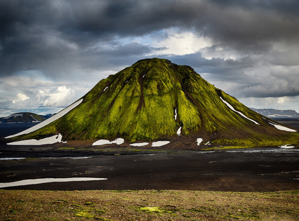
Two river crossings in a verdant valley precede the Hvanngil farm. The trail then enters the Hvannagilshraun lava zone, crosses another ford, and emerges onto a glacial sand plain (sandur). The Innri-Emstruá river is crossed by a suspension bridge above a waterfall. The Mælifellsandur sand plain leads to arrival at Emstrur.
Stage 4 — Emstrur → Þórsmörk
The stage begins with a descent to the Fremri-Emstruá river, crossed by a bridge. The trail passes near the Markarfljót river before a final, wide and demanding ford that opens access to the glacial valley of Þórsmörk and its dwarf birch forests.
Stage 5 (extension) — Þórsmörk → Skógar
This 25 km extension crosses the glacial zone between Eyjafjallajökull and Myrdalsjökull. After a sustained climb, you cross the Fimmvörðuháls pass, then begin a long descent to Skógar along the Skógá and its cascading waterfalls. A section more exposed to weather, best tackled with good equipment.
Practical information
- Total distance: 55 km (Landmannalaugar–Þórsmörk), 80 km with Skógar extension.
- Duration: 2 to 5 days depending on pace.
- Level: challenging hike but not technical; river crossings mandatory (hiking sandals recommended).
- Accommodation: mountain huts (skálar) managed by Ferðafélag Íslands, book several months in advance. Adjacent campsites accessible without reservation.
- Weather: highly changeable, snow possible even in summer. Check forecasts at each hut before departing.
When to go
The trail is passable from late June to mid-September, the period when access roads are open and huts staffed. July and August offer the most stable conditions, but also the highest crowding. Early September brings autumn colours to Þórsmörk valley, at the cost of colder nights and increased risk of snow at altitude. Outside this window, the route is practically closed: snowed-in roads, huts shut, no shuttle services.
How to get there
Access to the trailheads is via the F208 and F225 tracks (Landmannalaugar side) and the F249 (Þórsmörk side), reserved for high-clearance 4x4 vehicles due to river crossings. Seasonal opening of these tracks is decided by the Icelandic Road Authority based on snow cover. Skógar, at the far end of the extension, remains accessible year-round via Route 1 in any type of vehicle.
Several bus companies serve Landmannalaugar and Þórsmörk from Reykjavík in season, with stops at the hut locations. The Hiking Passport offered by Reykjavik Excursions combines multiple journeys between Reykjavík, Skógar, Þórsmörk and Landmannalaugar at flat rate. Daily shuttles also run between the Álftavatn, Hvanngil and Þórsmörk huts, useful for shortening the itinerary in bad weather.
Nearby
- Landmannahellir — site of cabins and lakes near the Landmannalaugar starting point.
- Mount Hekla — one of Iceland's most active volcanoes, visible from the early stages.
- Strútslaug hot springs — geothermal bath on the edge of the Highlands.
- Myrdalsjökull ice cap — neighbour to Eyjafjallajökull, glimpsed on the extension towards Skógar.
- Katla — subglacial volcano whose eruptions have shaped the sandurs crossed by the trail.
Frequently asked questions
Frequently asked questions
The route is not technically difficult, but requires good physical condition, experience carrying a multi-day pack, and the ability to cross cold water fords. The very changeable weather also demands suitable equipment (technical layers, waterproof jacket, hiking boots).
The huts managed by Ferðafélag Íslands open bookings in the preceding autumn and often fill up within weeks for July and August. Plan several months ahead. Otherwise, the adjacent campsites can be used without reservation.
Four-season tent or hut booking, warm sleeping bag, waterproof hiking shoes, sandals for river crossings, layered clothing, gloves and hat, camp stove (no firewood available), food for the full duration, topographic map and compass or GPS.
Yes, the trail is marked and busy in season. Independent hiking remains challenging in poor weather. Agencies offer guided departures and pack-carrying services (baggage transport between huts) to lighten your load.
The classic direction goes from Landmannalaugar (north) to Þórsmörk (south): overall elevation change is descending and you finish in the forested valley. The reverse direction is possible but starts with the toughest sections.
Prepare your trek in Iceland
Laugavegur fits naturally into an itinerary combining the Highlands and south coast. To build a bespoke trip including this trek, explore our Iceland travel packages.
Nearby
Interested in this visit?
We can include it in your personalised itinerary.