Lakagígar (Laki)
Lakagígar (Laki)
Lakagígar (Laki) is an alignment of 130 volcanic craters in Iceland's Highlands, remnant of the cataclysmic 1783-1784 eruption. Accessible by 4×4 from late June through early September, it offers one of the country's most intense volcanic landscapes.
Lakagígar — often called Laki — is an alignment of volcanic craters situated in Iceland's Highlands, within Vatnajökull National Park. Formed during one of humanity's largest effusive eruptions (1783-1784), this lava field spanning over 560 km² remains one of Iceland's most striking volcanic landscapes. Access is seasonal and demands serious preparation.
Practical information at a glance
- Access: F206 track (Lakavegur), reserved for high-clearance 4×4 vehicles; the track crosses several river fords.
- Season: the F206 is generally passable from late June through early September depending on snow melt; check road conditions on road.is before departing.
- Duration: plan a full day from Route 1; camping on-site is possible at the Fagrifoss/Laki campground.
- Footwear: sturdy hiking boots mandatory; volcanic scoria is razor-sharp.
- Rules: protected site — do not remove rocks, stay on marked trails to preserve the moss.
- Accessibility: severely limited due to rugged volcanic terrain.
What to see
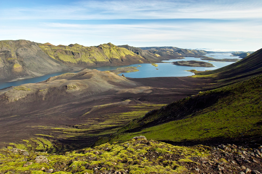
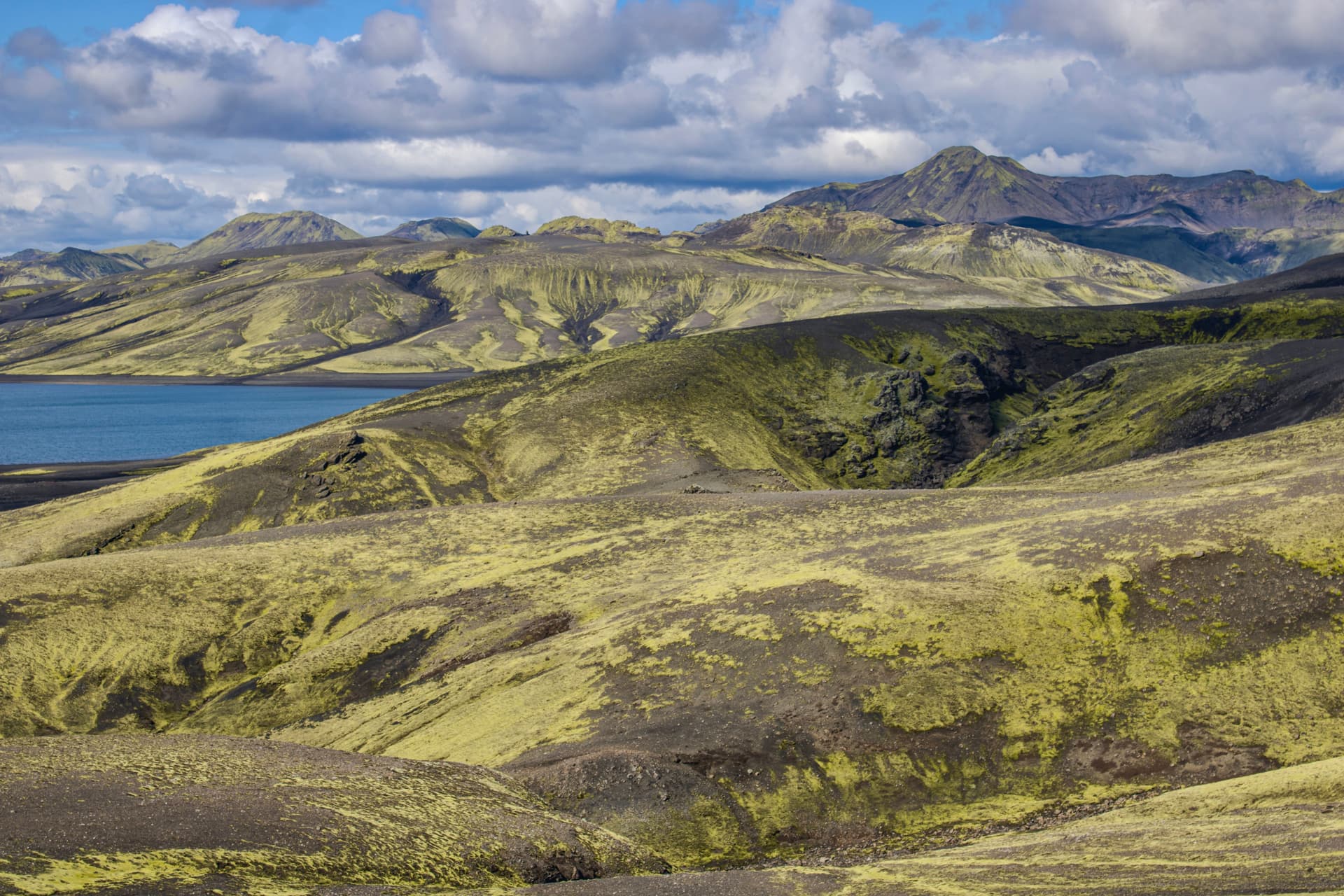
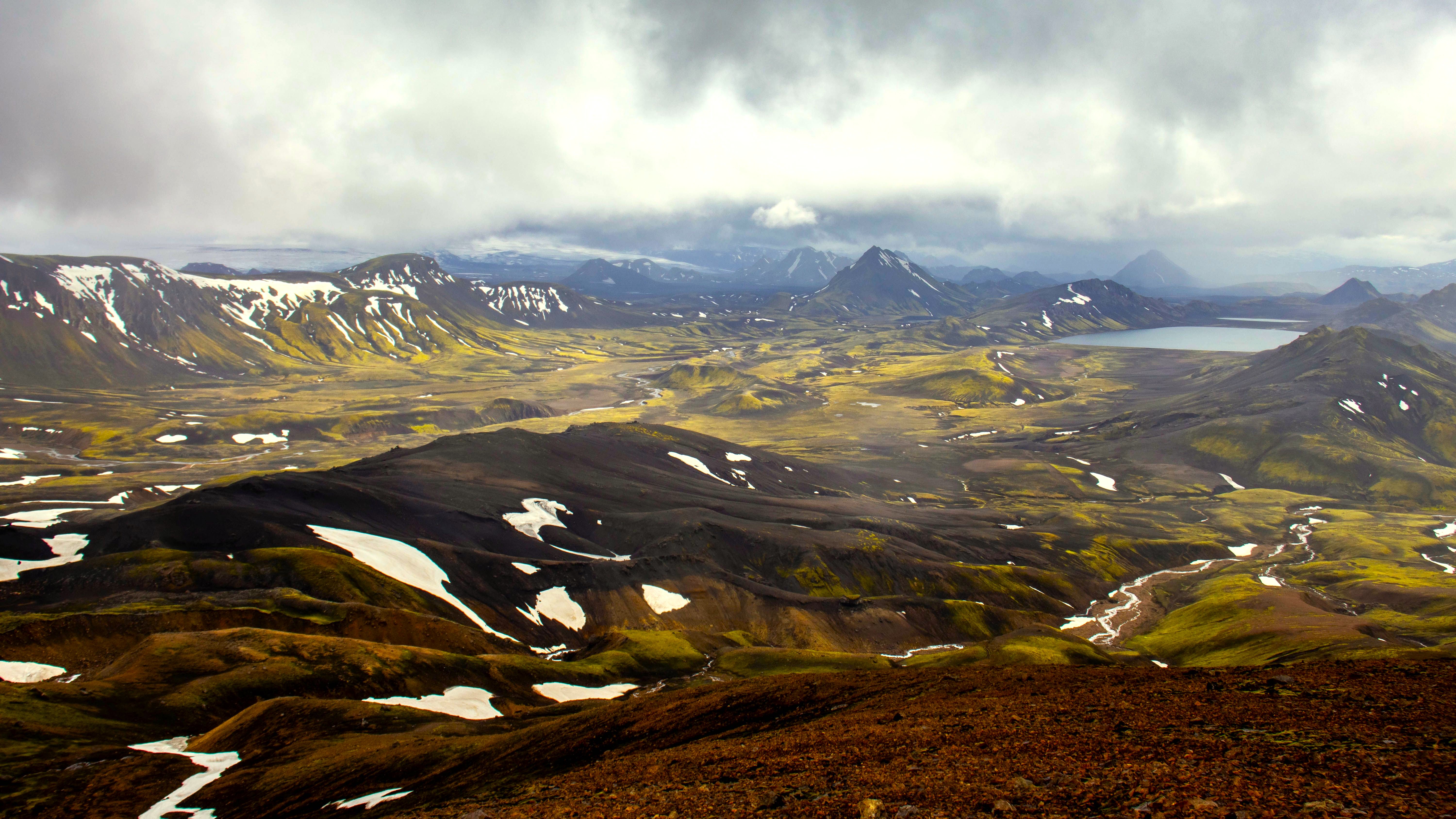
The site comprises approximately 130 craters aligned along a 27 km fissure. The main crater, Laki, peaks at 818 m and offers panoramic views across the entire lava field. Green moss blankets the black basalt flows, creating striking visual contrast. Fagrifoss waterfall, nearby, plunges into a gorge carved through volcanic rock.
History and context
Between June 1783 and February 1784, the Lakagígar fissure released approximately 14 km³ of lava and immense quantities of sulfur dioxide. The toxic cloud decimated Iceland's livestock and triggered famine — the "Haze Hardship" (Móðuharðindin) — killing roughly a quarter of Iceland's population. Sulfur emissions reached Europe and contributed to severe winters across the Northern Hemisphere. The eruption remains among the deadliest of the modern era.
Highlights of your visit
Ascending Laki crater
A marked trail ascends the main crater's summit. The climb takes roughly 30 to 45 minutes. From the top, views encompass the crater alignment, lava fields, and on clear days, Vatnajökull glacier to the northeast.
The lava field and its formations
The lava flows display rope-like basalt structures (pahoehoe) and blocky formations (aa). Icelandic moss, extremely fragile, carpets the surfaces — each step off-trail can destroy decades of growth.
Fagrifoss waterfall
A few kilometers from the main parking area, Fagrifoss plunges into a gorge with columnar basalt walls. Less visited than the south's major waterfalls, it deserves a stop on your journey.
Photography tips
Raking light at dawn and dusk (in summer, the sun stays low even at midnight) accentuates the texture of scoria and lava flows. From Laki crater's summit, a wide-angle lens captures the crater alignment. Green moss against black basalt works well with a slightly warm white balance. Drones are subject to national park regulations — check with Vatnajökull National Park before flying.
Location and access
Lakagígar sits in the western portion of Vatnajökull National Park, within Iceland's southern Highlands. The most common entry point is Route 1 (Ring Road) near Kirkjubæjarklaustur, from which the F206 track heads north. Distance between Kirkjubæjarklaustur and the site is approximately 50 km of track. No public transportation serves the site; a 4×4 vehicle is essential. Organized excursions from Kirkjubæjarklaustur or Reykjavík provide access without a suitable vehicle.
In the surrounding area
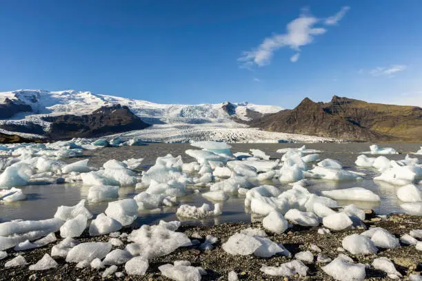
- Vatnajökull Glacier — Europe's largest glacier, visible from Laki's summit on clear days.
- Kirkjubæjarklaustur — Route 1 village, logistics hub for supplies and lodging before the track.
- Eldgjá — another giant volcanic fissure accessible via F233, landscape comparable to Laki but less crowded.
- Fjaðrárgljúfur Canyon — spectacular gorge to the west, accessible from Route 1.
Frequently asked questions
The F206 typically opens late June and closes early September, depending on residual snow. Check road.is for real-time conditions before departing.
No. The F206 track features river fords and rough terrain reserved for high-clearance 4×4s. A standard car risks damage and may result in driver liability.
Yes. Kirkjubæjarklaustur serves as a base for visiting Laki, Eldgjá, and Fjaðrárgljúfur Canyon over two to three days. Route 1 connects these sites easily.
Lakagígar falls within Vatnajökull National Park, subject to strict drone regulations. Contact the national park before your visit to learn about authorized zones and conditions.
Hiking boots with thick soles are essential: volcanic scoria is razor-sharp. Bring waterproof layers; wind and rain can occur even in summer.
A basic campground exists near the site, allowing overnight stays. Facilities are minimal; arrive self-sufficient with water and food.
Interested in this visit?
We can include it in your personalised itinerary.