EYJAFJALLAJÖKULL
EYJAFJALLAJÖKULL
Stratovolcano capped by a glacier in south Iceland, famous for its 2010 eruption that paralyzed European aviation.
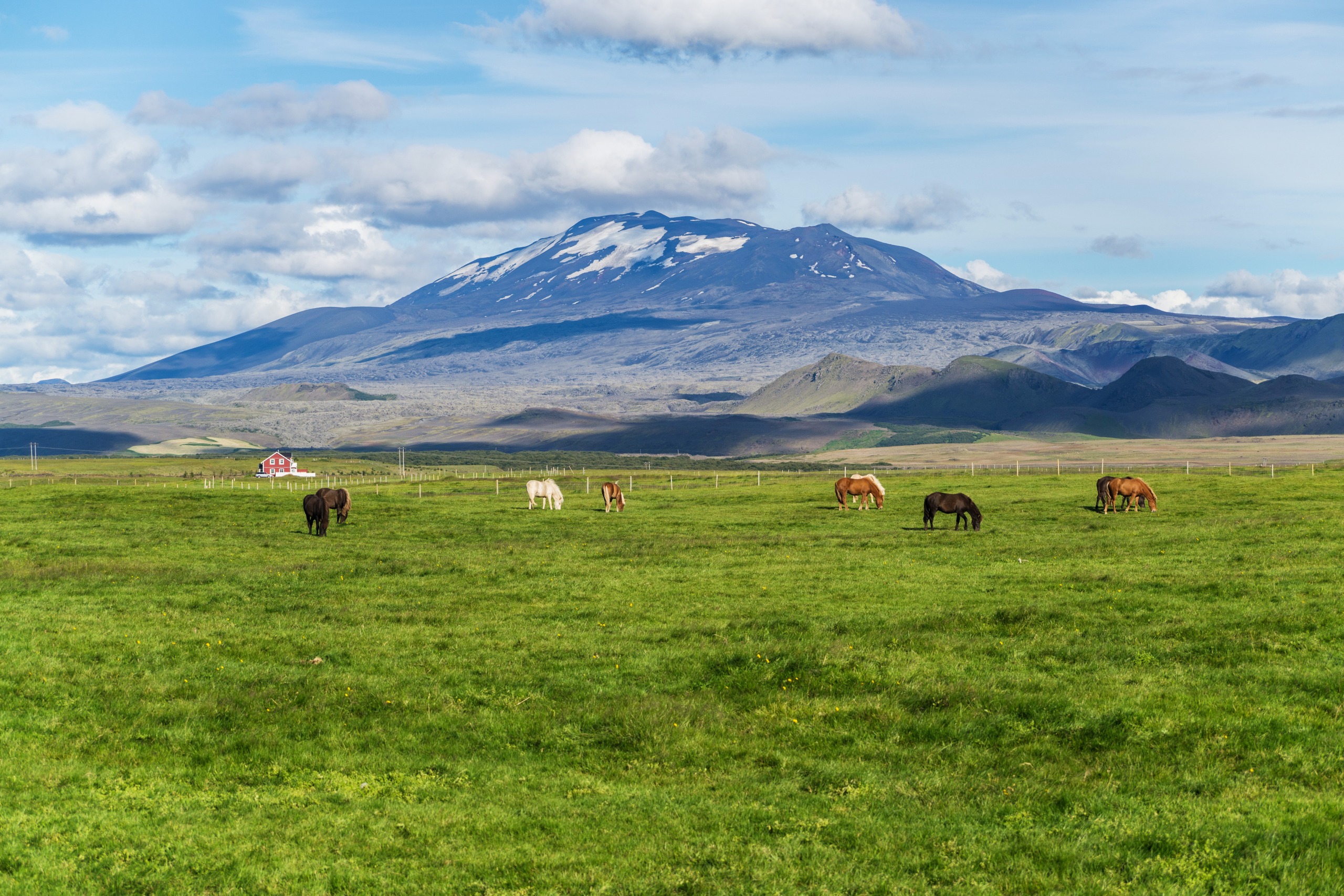
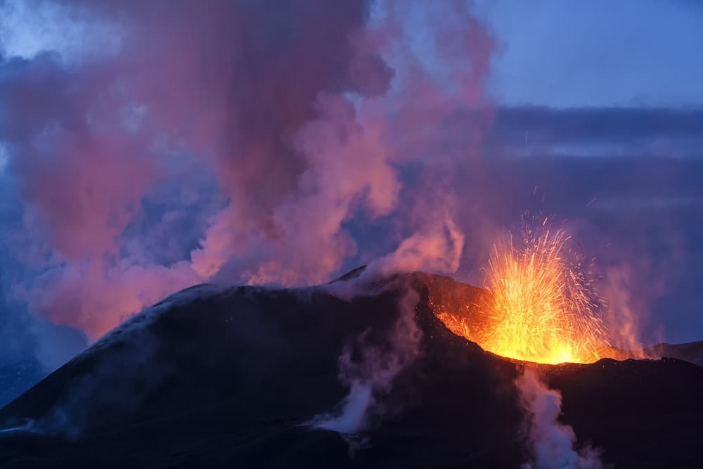
Eyjafjallajökull is a stratovolcano capped by a glacier situated in south Iceland, near the village of Hvolsvöllur. At approximately 700,000 years old, it ranks among the island's oldest still-active stratovolcanoes. Its 2010 eruption etched itself into European collective memory by shutting down air traffic across much of the continent for several days.
Why visit Eyjafjallajökull
The site combines several rare geological attractions: an active volcano, an 80 km² ice cap, two distinct glacier tongues, and a network of waterfalls fed by meltwater. Iceland's sixth-largest glacier by area among the thirteen that blanket the country, it offers accessible exploration terrain from the Ring Road (Route 1), setting it apart from the more remote Highland massifs.
Culturally, the region surrounding the volcano serves as the backdrop for the Saga of Njál, one of Iceland's most significant medieval texts. This layering—geological, glaciological, and literary—makes Eyjafjallajökull a major landmark of south Iceland.
History and geology
The volcano has experienced four documented historical eruptions: in 920, 1612, 1823, and March 2010. The last one hurled an ash plume that paralyzed civil aviation across Western and Northern Europe for nearly a week, due to the danger particles pose to aircraft engines.
Eyjafjallajökull maintains a geological relationship with neighboring volcano Katla, situated beneath the Mýrdalsjökull ice cap. Historically, eruptions of both edifices have often followed in succession, placing Katla under close watch after each awakening of its neighbor. By comparison, Mount Hekla, another major volcanic figure in the south, is a considerably younger formation but renowned for greater power.
Etymology
The name comprises three Icelandic words: Eyja ("islands," referring to the Vestmannaeyjar), Fjalla ("mountains"), and Jökull ("glacier"). The whole may be translated as "the glacier on the mountains of the islands."
Aviation accidents
Two aviation accidents have occurred on the glacier. In 1952, five people lost their lives during a rescue mission: one victim upon impact, the other four succumbing to extreme conditions. In 1966, an American couple perished in a second accident.
What to see on site
The volcano and ice cap
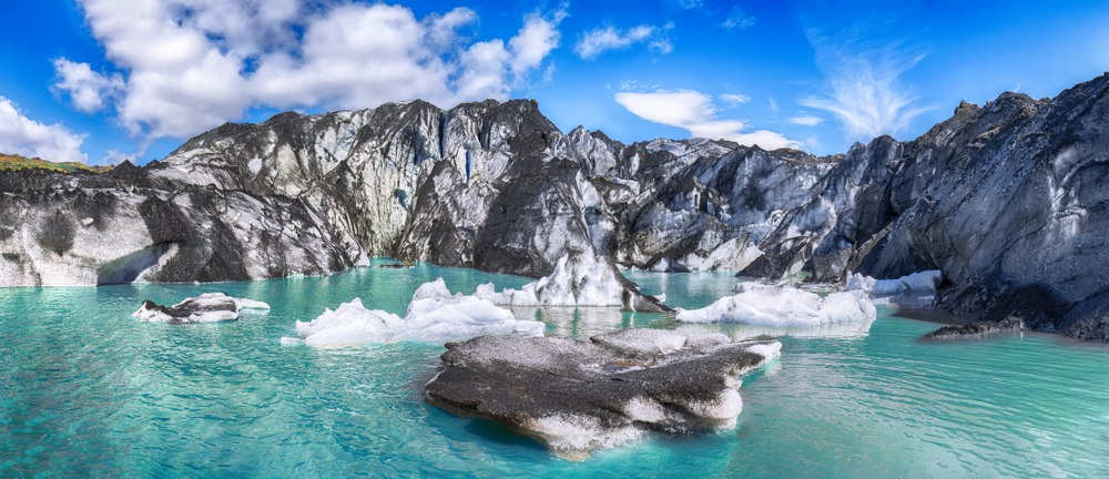
Eyjafjallajökull rises to 1,651 m in elevation. Its ice cap covers approximately 80 km² with a thickness under 100 m across most of the surface, reaching 300 m within the caldera and its eastern flank. The summit crater measures 3 to 4 km in circumference. Two glacier tongues descend from the ice cap: Steinholtsjökull and Gýgjökull, the latter stretching across the northern slope toward Thórsmörk valley.
Waterfalls and canyons
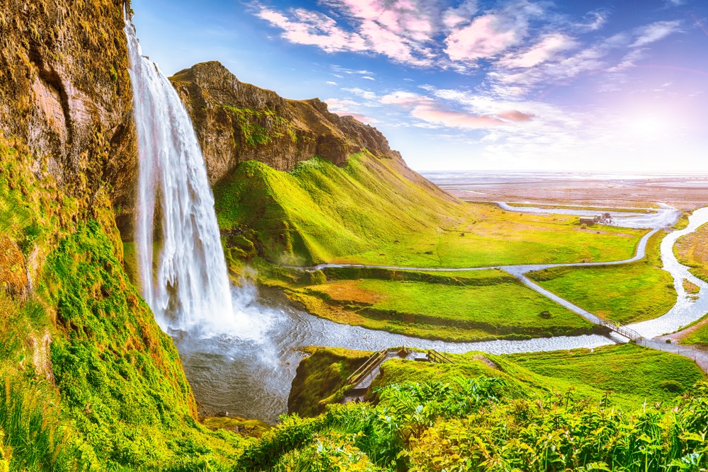
Meltwater feeds several rivers that have carved the southern slopes. Two emblematic waterfalls result: Seljalandsfoss (65 m), behind which a trail allows passage, and Skógafoss (62 m). The Stakkholtsgjá canyon, carved by meltwater, can be explored on foot from Þórsmörk.
Interpretation centers
At Hvolsvöllur, the Lava Centre offers an exhibition devoted to Icelandic volcanoes—the country has more than 130. Further east, on Route 1, the Þorvaldseyri visitor center documents the 2010 eruption specifically from the perspective of the farm situated at the volcano's foot.
Thórsmörk valley
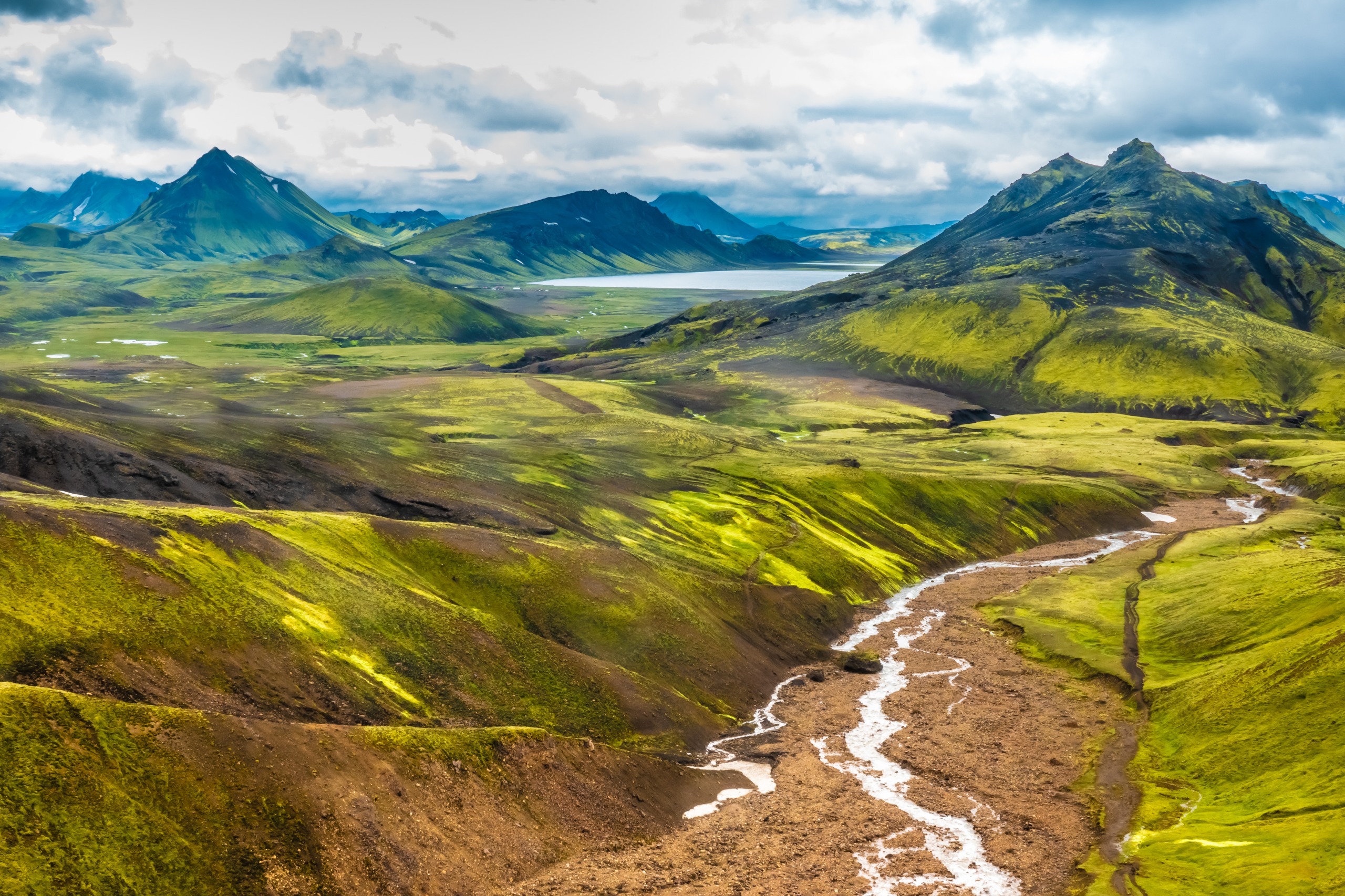
Located north of the massif, Thórsmörk valley still bears traces of the 2010 eruption, with visible ash deposits on the ice cap that snow progressively covers.
Practical information
- Summit elevation: 1,651 m
- Ice cap area: approximately 80 km²
- Summit access: only with an approved operator (super-jeep, snowmobile, or guided glacier hiking)
- Equipment: windproof and waterproof clothing, hiking boots, crampons provided for ice travel
- Guided visit duration: expect a half-day to full day depending on the option
Ascent of the volcano itself is exclusively with specialized guides. The ice cap remains a glacial environment with crevasses and changing weather conditions: no outings should be improvised off marked trails.
When to go
The hiking season extends from July through mid-September, the period when trails are passable and snow limited at lower elevations. Summer temperatures range between 5 and 15 °C, against negative values down to -5 °C in winter. Wind often proves a more limiting factor than cold itself: always consult vedur.is forecasts before any outing.
How to get there
From Reykjavík, Route 1 (the Ring Road) runs along the massif's southern flank. Allow approximately 1.5 to 2 hours of driving to Hvolsvöllur, then an additional 30 minutes to reach the clearest vantage points on the volcano. The ice cap is visible for kilometers in clear weather, from the moment you cross the Hellisheiði moorland.
The departure point for the Fimmvörðuháls pass hike lies near Skógafoss waterfall, at Skógar. This approximately 25 km traverse passes between Eyjafjallajökull and Mýrdalsjökull before descending into Thórsmörk: it is a demanding itinerary reserved for experienced hikers.
Nearby attractions
- Skógafoss and Seljalandsfoss: two major waterfalls fed by the ice cap, directly accessible from Route 1.
- Thórsmörk valley: protected area nestled between three glaciers, accessible by 4x4 bus or super-jeep.
- Vestmannaeyjar Islands: volcanic archipelago offshore, which lent its name to the glacier.
- Katla and Mýrdalsjökull: the neighboring volcanic system, to the east.
- Mount Hekla: another emblematic stratovolcano of south Iceland.
Frequently asked questions
Frequently asked questions
The approximate Icelandic pronunciation is "èy-ya-fyat-la-yeu-keutl." The name literally means "the glacier on the mountains of the islands."
The volcano is continuously monitored by the Icelandic Meteorological Office. The surroundings and lower-altitude trails can be traversed safely. Access to the ice cap itself requires a professional guide due to crevasses and weather conditions.
The two volcanoes are neighbors and geologically linked. Historically, eruptions of Eyjafjallajökull have often been followed by eruptions of Katla, which keeps the latter under close surveillance after each awakening of its neighbor.
Yes, but only accompanied by an approved operator, via super-jeep, snowmobile, or guided glacier hiking. No independent ascents are recommended.
July through mid-September. Outside this window, snow and fog make the itinerary difficult, if not dangerous.
Plan your trip
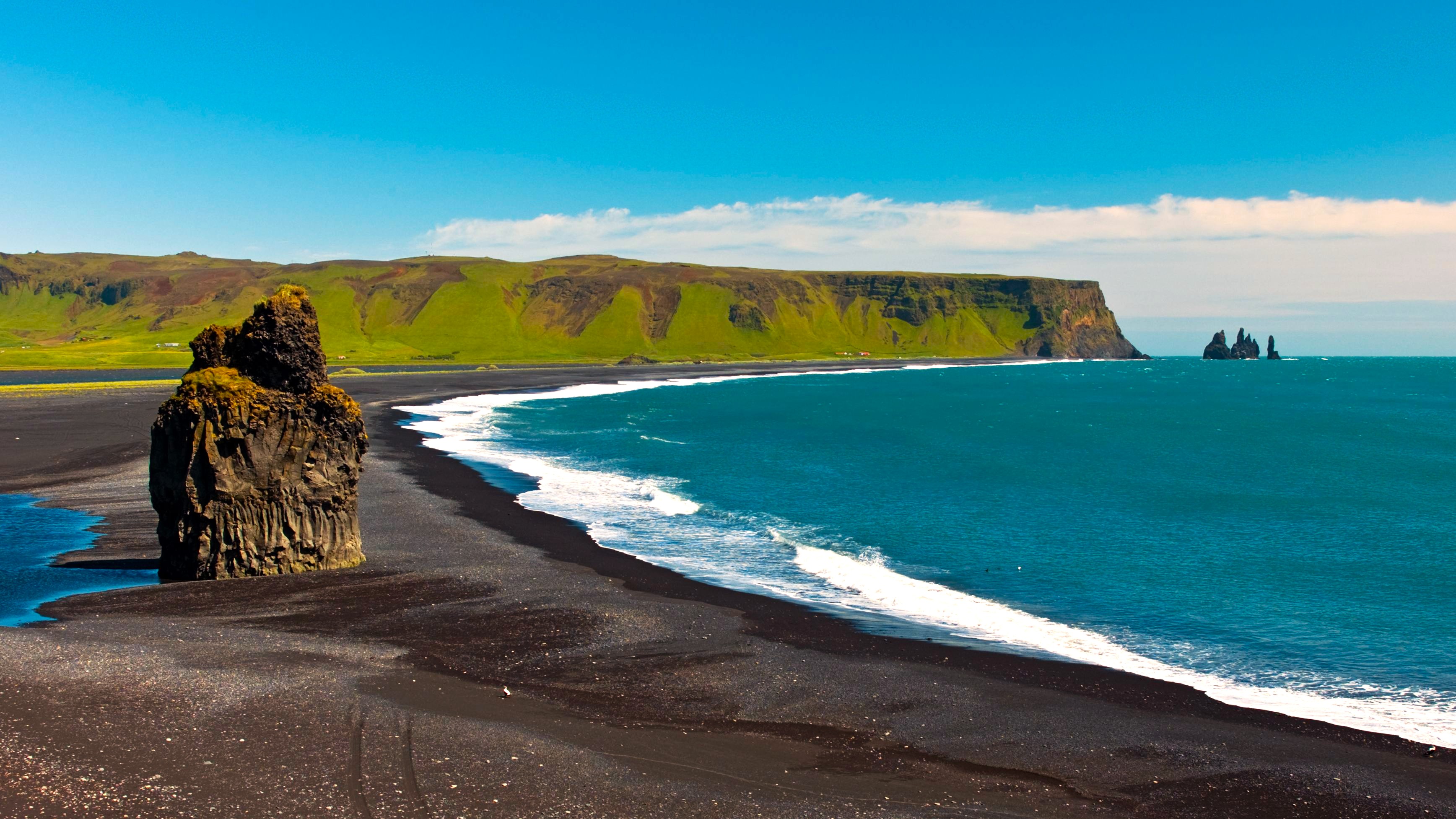
Eyjafjallajökull integrates naturally into a south Iceland circuit, between waterfalls, black sand beaches, and glaciers. To build a complete itinerary including this site and its surroundings, consult our Iceland journeys.
Nearby
Interested in this visit?
We can include it in your personalised itinerary.