FIMMVORDUHALS
FIMMVORDUHALS
A 25 km trail between Skógar and Þórsmörk, the Fimmvörðuháls crosses waterfalls, glaciers and lava fields from the 2010 Eyjafjallajökull eruption.
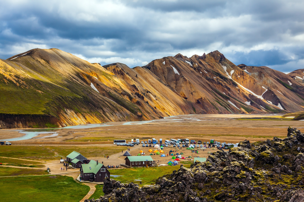
The Fimmvörðuháls, whose name means "pass of the five cairns", refers both to a mountain pass and to one of the most travelled hiking routes in southern Iceland. The trail connects Skógar to Þórsmörk by crossing the watershed between two ice caps, Eyjafjallajökull and Mýrdalsjökull, and traverses the lava fields from the 2010 eruption.
Why hike the Fimmvörðuháls
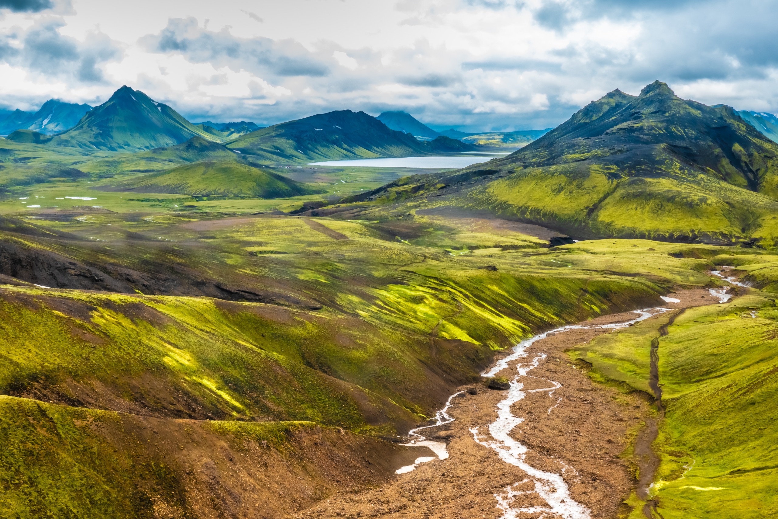
This route concentrates within 25 kilometres a rare diversity of landscapes in Iceland: around twenty waterfalls lined up along the Skógá river, passage between two glaciers, two still-recent craters and the descent into the wooded valley of Þórsmörk. The trail can be covered in one long day or over two stages with a night in a mountain hut.
The trek naturally extends with the Laugavegur trail for those wishing to cross the Highlands all the way to Landmannalaugar.
The 2010 eruption and the birth of Magni and Móði
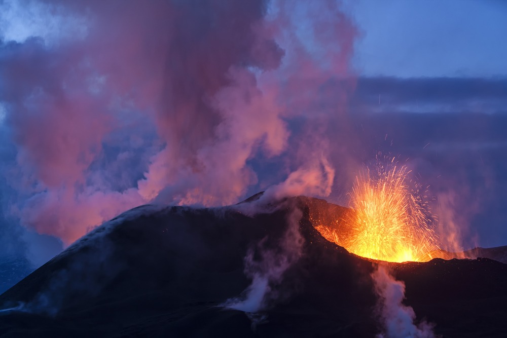
On 20 March 2010, the Eyjafjallajökull volcano erupted in the Fimmvörðuháls region. In the months preceding, small earthquakes had been detected beneath the Eyjafjallajökull glacier, warning signs of rising magma. Fissure vents opened north of the pass, towards Þórsmörk, and two new active craters appeared: Magni and Móði, named after the sons of the god Thor in Norse mythology.
The lava field from this eruption bears the name Goðahraun, in reference to the Goðaland region where the flow extended. Information panels placed near the craters trace the chronology of the event.
What you see along the trail
The Skógá river and its waterfalls
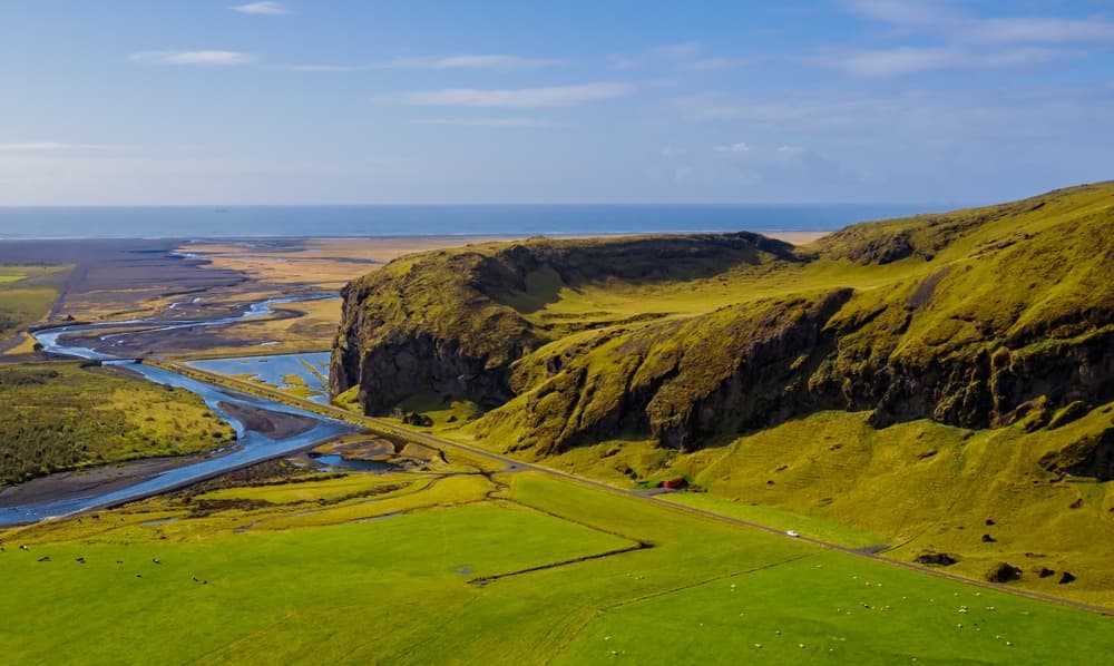
From Skógar, just above Skógafoss waterfall, the trail follows the Skógá river for several kilometres. Around twenty waterfalls dot this section, some well-known, others unnamed, all accessible from the path.
The pass between the two glaciers
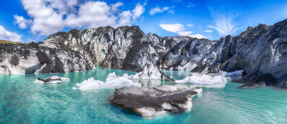
The upper part of the route crosses the pass proper, between the ice caps of Eyjafjallajökull and Mýrdalsjökull. The terrain becomes mineral, sometimes snow-covered even in summer, and the weather changes rapidly there.
The Magni and Móði craters
The two 2010 craters are crossed over the Goðahraun lava field. The rock still releases perceptible heat in some places several years after the eruption.
The descent to Þórsmörk
The end of the route leads into the Þórsmörk valley, where palagonite formations neighbour dwarf birch forests. Views of the Highlands and surrounding glaciers accompany the descent.
Preparing for the hike
The circuit measures approximately 25 km with 1,000 m of elevation gain. Allow 10 to 12 hours of actual walking time, ideally spread over two days. The pass hut is located about 5 hours' walk from Þórsmörk; it has no running water, supply relies on collecting meltwater along the way.
Recommended equipment:
- Waterproof clothing and gloves, multiple technical layers
- Hiking poles for steep sections and wind
- Ankle-supporting mountain boots
- Sleeping bag if staying in a hut
- Portable power bank, sunglasses, hat
- Light crampons useful outside summer season, when snow patches remain at the pass
Weather is the main difficulty factor. Check forecasts and report your route before departure; some sections become tricky in fog or strong wind.
When to go
The hiking season runs from July to mid-September. During this period, trails are largely snow-free and days remain long. Summer temperatures range between 5°C and 15°C, with possible lows at the pass. In winter, temperatures hover around -5°C and the crossing becomes the business of very experienced hikers. Fog remains possible year-round.
How to get there
From Reykjavík, allow approximately 2 hours 30 minutes by road via the Ring Road to Skógafoss, the standard starting point of the trail in the Skógar–Þórsmörk direction. This orientation allows a gradual ascent towards the pass. The reverse direction, Þórsmörk–Skógar, climbs the steepest face of the pass on ascent rather than descent, which can be more comfortable. Þórsmörk is reached from Reykjavík by seasonal buses or 4x4 vehicles adapted for river crossings.
What to see nearby
- Skógafoss: the waterfall marks the starting point of the trail on the south side.
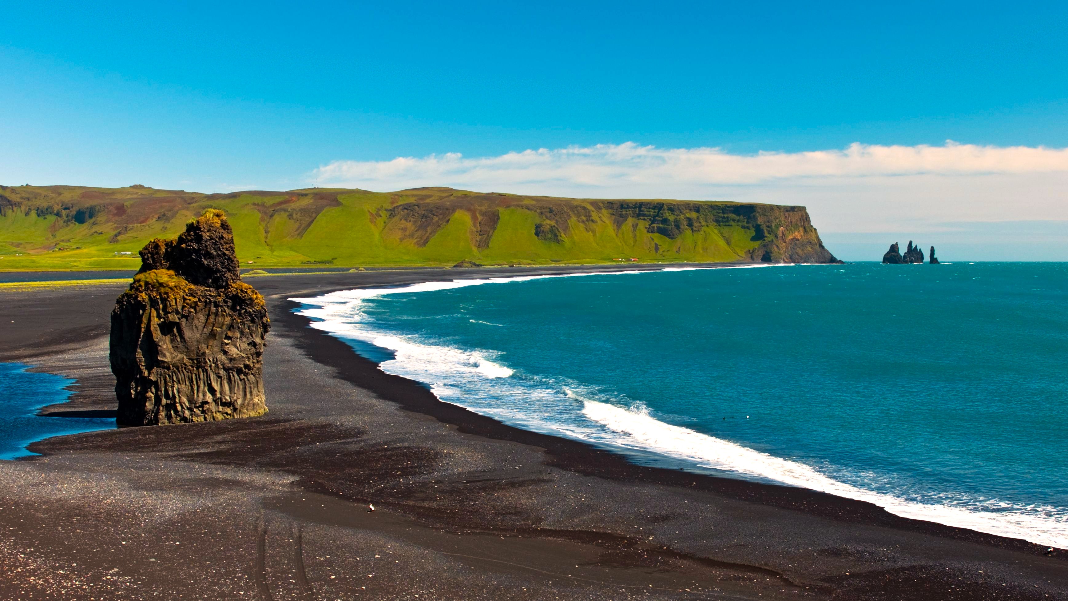
- Vík í Mýrdal: coastal village with its black sand beach, about thirty kilometres east of Skógar.
- Mýrdalsjökull: the ice cap that borders the pass to the east.
- Katla: the volcano hidden beneath Mýrdalsjökull.
- Mount Hekla: another emblematic volcano of southern Iceland.
- Mælifell: a green volcanic cone, accessible further north in the Highlands.
Frequently asked questions
Frequently asked questions
Extend your journey
The Fimmvörðuháls is part of a network of trails covering southern Iceland and the Highlands. To plan a trip combining treks, glaciers and volcanoes, consult our Iceland trips.
Nearby
Interested in this visit?
We can include it in your personalised itinerary.