Landmannahellir
Landmannahellir
Cave and pastoral domain in Iceland's Highlands, at the foot of Hekla: hiking and fishing base between Landmannalaugar and Lake Þórisvatn.
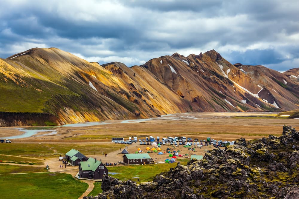
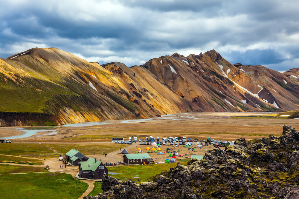
Landmannahellir is a stopping point located in the Icelandic Highlands, within the sphere of influence of the Hekla volcano, on the former Dómadalur pass. The cave that gives the site its name, long used by shepherds during seasonal livestock migration, now serves as a base for exploring a little-frequented stretch of the high plateaus, between lava fields, fishing lakes and hiking trails.
Why visit Landmannahellir
The site combines three rarely found qualities in the Highlands: tangible pastoral heritage (stable, shelters, centuries-old occupation traces), a functional logistical base for exploring on foot or horseback, and a geographic position at the crossroads of Landmannalaugar, Hekla and Lake Þórisvatn. Less visited than Landmannalaugar, Landmannahellir retains the atmosphere of a shepherd's camp, away from peak-season crowds.
A pastoral halt in the high plateaus
For centuries, Landmannahellir has served as a refuge for sheep herders during the grazing season. The work Sunnlenskar byggðir V describes the site as a rustic barn capable of holding 70 to 80 horses in ancient times, illustrating the scale of seasonal migration across this pass.
A small side cave served as a makeshift dormitory for travelers before a first cabin was built nearby in 1907. Other cabins and structures were added over the decades without altering the domain's character.
Local oral tradition associates the place with several ghost stories. Notably said to wander there is Starkaður of Stóruvöllum, originally from Bárðardal, who died from a rock fall in the pastures of Gnjúpverja, as well as Egill, who is said to have perished in the volcanic lands of Loðmundur. These tales form part of the folklore that shepherds still pass on to passing visitors.
What you'll find on site
The cave
The Landmannahellir cave measures roughly 14 meters long, 8 meters wide and 4 meters high under the ceiling. It is open to free visiting and bears traces of its former use as livestock shelter. Several structures nearby retain their original purpose—sheltering herders in autumn—while others have been converted into guesthouses or huts for hikers and riders.
The domain and its cottages
The entire complex can accommodate approximately 100 people distributed across cottages, most of them heated, equipped with sleeping areas (beds or sleeping bag spaces), a kitchenette and facilities with running water. A campground welcomes tents, campervans and motorhomes, with a barbecue area. For visitors traveling on horseback, the domain has three paddocks, a barn with about forty stalls and hay.
Hikes and activities from the site
Loop to Loðmundur
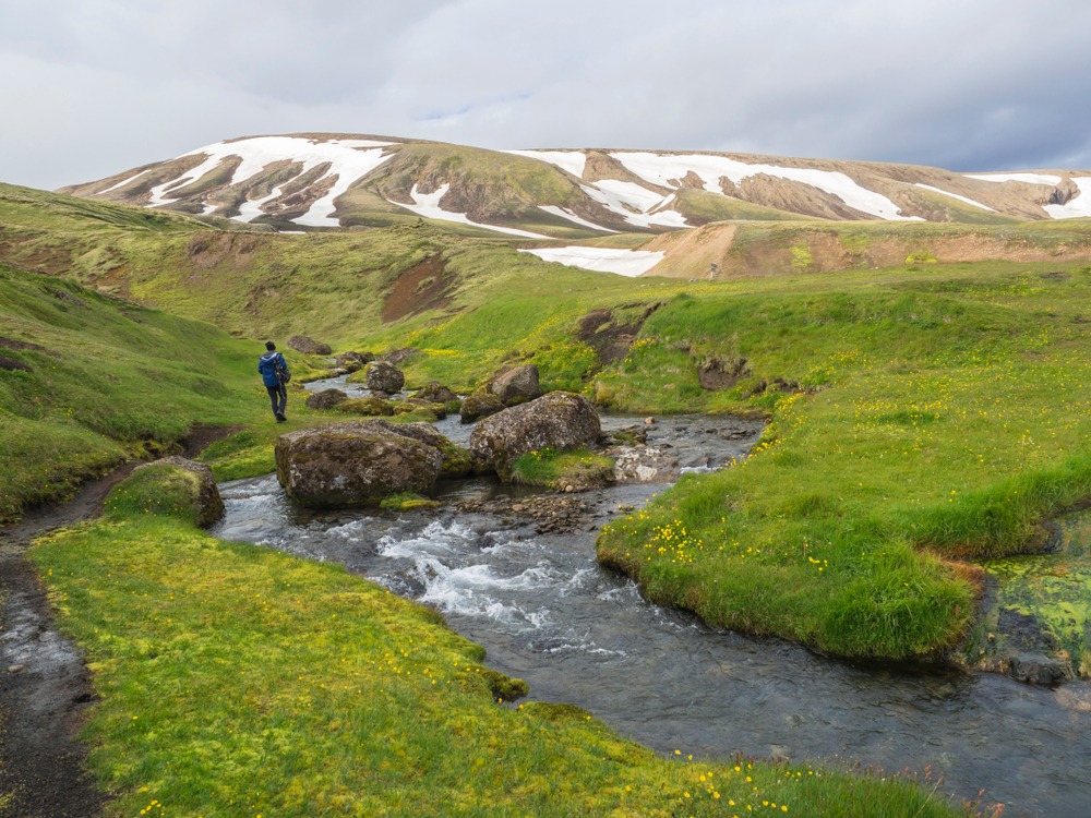
This partially marked hike takes approximately 5 hours round trip in loop form. From the heights, a 360° panorama opens onto Landmannalaugar, Lake Þórisvatn and Mýrdalsjökull glacier. It's the most comprehensive route for grasping the geography of this stretch of the Highlands.
Lambafitjahraun and Sáta ascent
The trail toward Lambafitjahraun crosses a vast lava field, a direct expression of volcanic activity in the area. The Sáta ascent, more demanding, suits hikers accustomed to steep terrain.
Fishing in nearby lakes
South of the Tungnaá river, several mountain lakes lend themselves to trout fishing: Löðmundarvatn, Frostastaðavatn, Dómadalsvatn and Ljótipollur. Permits can be obtained from the domain managers or at the shop in Landmannalaugar. After your outing, a fishing report must be submitted to the keepers or deposited in the mailbox installed at the Ljótipollur junction.
Practical information
- Status: private domain owned by individuals holding common grazing rights in the region.
- Accommodation: sleeping-bag huts, camping, showers. Moderate rates; check with managers before your stay.
- Equipment to bring: sleeping bag, warm and waterproof clothing (highly changeable weather at altitude), hiking boots, provisions (no shops on site), cash for access fees.
- Network and services: mobile coverage is unreliable; bring offline maps and fill up fuel before heading onto the F tracks.
When to visit
The domain is accessible from mid-June to early September, depending on the opening of the Highlands tracks. Outside this window, the F roads are closed due to snow and impassable river crossings. July and August offer the most stable conditions; June and September are quieter but more exposed to weather closures.
How to get there
Two main routes lead to Landmannahellir:
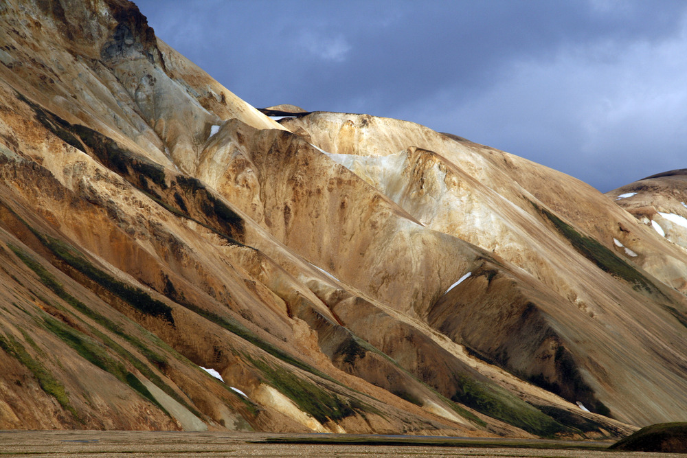
- Via the F225 track, heading toward the Landmannalaugar massif. The track is passable only in a 4x4 and requires an experienced driver: it crosses lava fields, river crossings and polychrome terrain approaching Hekla.
- From Route 1, turning onto Route 26 then onto Dómadalsleið which leads to the site. Again, the final section requires an appropriate vehicle.
Without a 4x4, the easiest option is to reach Landmannalaugar via a Highlands bus in high season, then travel to Landmannahellir on foot or horseback via the hiking network in the area.
Nearby attractions
- Hekla volcano: iconic volcano whose influence marks all surrounding landscapes.
- Strútslaug hot springs: isolated geothermal bath, accessible to equipped hikers.
- Mælifell volcano: regular cone to the south, famous for its silhouette in the Mælifellssandur valley.
- Katla: major volcanic system beneath the nearby glacier, to be integrated into a broader understanding of South Iceland's Highlands.
Frequently asked questions
Frequently asked questions
Plan your Highlands stopover
Landmannahellir naturally fits into an itinerary combining Hekla, Landmannalaugar and the southern volcanoes. To build a coherent stay around these stops, browse our Iceland trips and their Highlands variations.
Interested in this visit?
We can include it in your personalised itinerary.