Mount Hekla
Mount Hekla
An active volcano standing at 1,488 m in southern Islande, Mount Hekla offers a day hike and direct access to the Landmannalaugar massif.
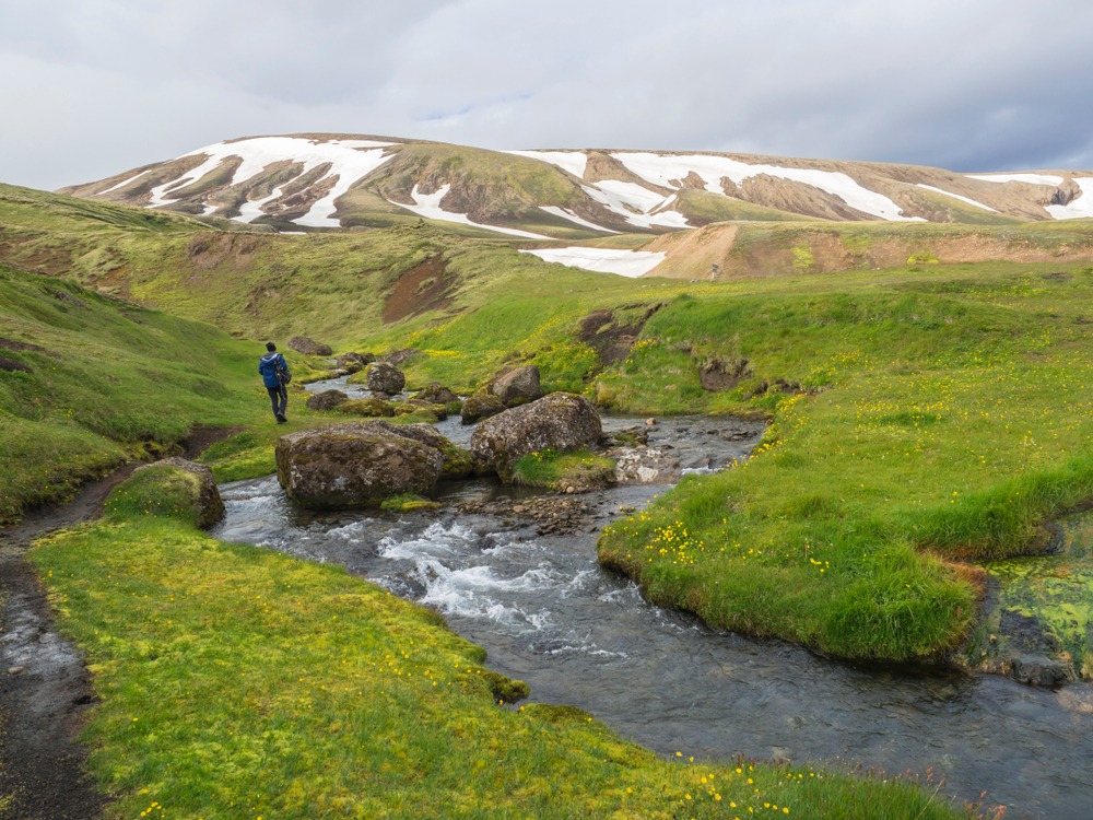
Mount Hekla is one of Islande's most active and feared volcanoes. Standing at 1,488 metres in the south of the country, it has embedded itself in the Icelandic imagination as a gateway to hell, and in contemporary imagination as a film set: Ridley Scott chose Mount Hekla as the shooting location for the film Prometheus. Its ascent remains accessible to prepared hikers, and its surroundings concentrate some of the most powerful landscapes in southern Islande.
Why visit Mount Hekla
- An emblematic active volcano, with more than twenty recorded eruptions between 874 and 2000.
- An ascent achievable in a single day (3 to 4 hours uphill, approximately 7 hours round trip).
- From the summit, an unobstructed view of the Vatnajökull glacier and the mountains of Fjallabak.
- A rich immediate environment: Þjórsárdalur valley, reconstructed Stöng farm, multiple waterfalls and F225 track leading to Landmannalaugar.
- An interpretation centre at Leirubakki to understand the geology and eruptive history of the site.
History and legend of a feared volcano
The Hekla volcanic system is ancient: geological sources describe a structure formed over hundreds of thousands of years, with an elongated silhouette built by the accumulation of lava flows and ash. It is considered a red volcano midway between eruptive fissure and stratovolcano. Its main characteristic is its unpredictability: the time between the first signs and the start of an eruption can be very short.
The first documented human ascent dates to 1750. Before this date, the summit was known only through accounts and poems, including the ancient text "The Prison of Judas". In the Middle Ages, the Hekla volcano is described in several European sources as the purgatory of damned souls, which earned it the nickname "gateway to hell".
Etymology
The word Hekla means "cape" or "hood" in Old Norse, the language of the Vikings. Early settlers would have named it in reference to its summit often veiled in clouds, even in fair weather.
Hekla Centre
Located at Leirubakki, at the foot of the volcano, the Hekla Centre offers a multimedia exhibition devoted to the eruptive history of the site and its influence on neighbouring populations since the colonisation of the island. It's a good starting point before venturing onto the trails.
What to see and do on site
Climbing to the summit
The classic route starts from the north-western flank. Allow 3 to 4 hours uphill and approximately 7 hours round trip. The terrain is volcanic: black lava fields at the base, persistent snow and ice at the top, even in summer. The hike requires no particular alpinism technique, but it remains demanding due to changeable weather, wind and possible volcanic gas emissions. A local guide is recommended for hikers unfamiliar with Icelandic terrain.
The panorama from the crater
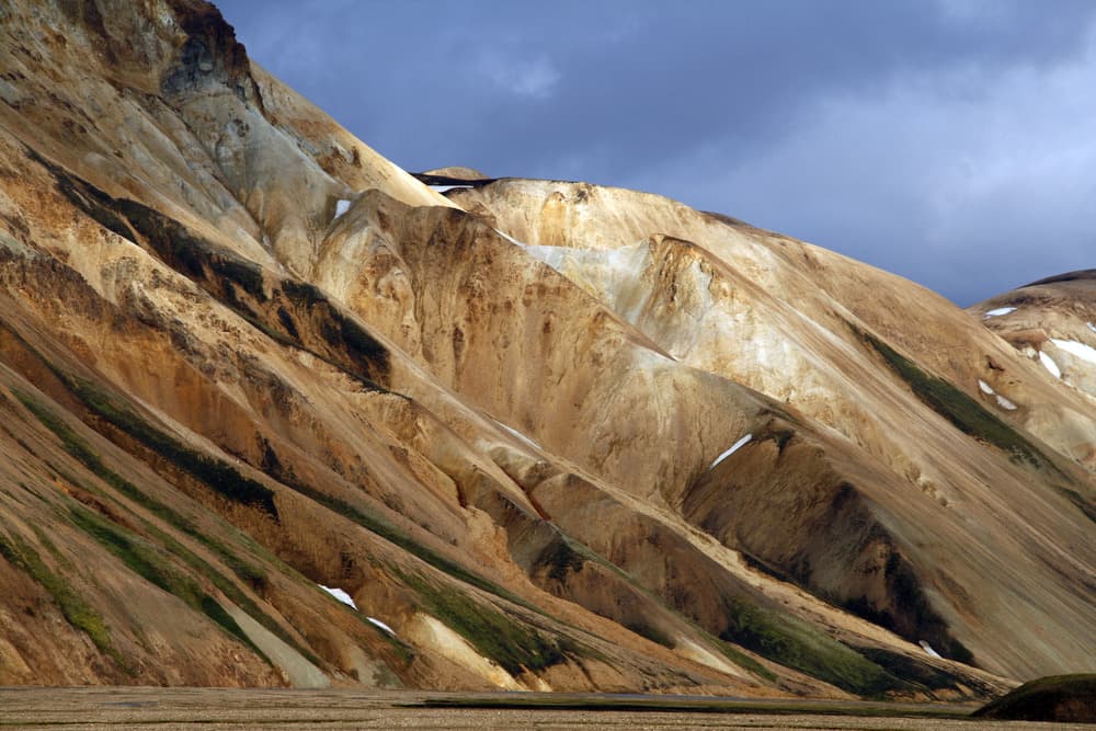
From the summit, the view extends to the Vatnajökull glacier to the east, to the colourful mountains of Fjallabak and to the surrounding volcanic plateau. In spring, it is possible to practise skiing around the crater, under conditions to be validated with local guidance.
The F225 track and Landmannalaugar
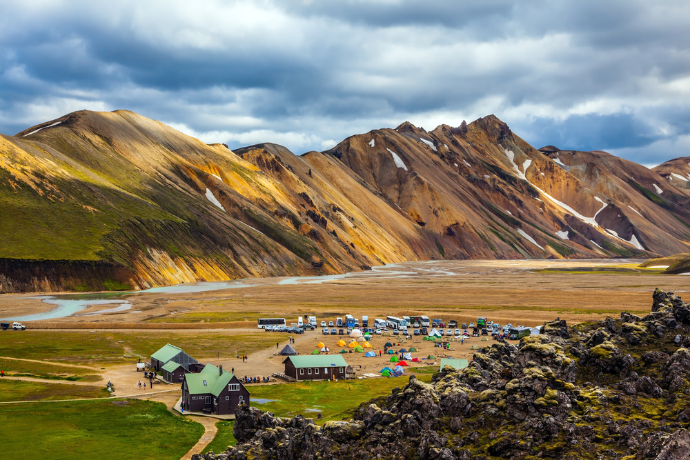
On the northern slope, the F225 track crosses a mineral landscape before reaching the Landmannalaugar massif, within the Fjallabak natural reserve. It is one of the finest 4x4 routes in the south of the island.
Þjórsárdalur valley
The Þjórsárdalur valley takes its name from the Þjórsá glacier river, which runs along the northern flank of Hekla. It is home to the Gjáin gorge, ringed by basalt columns, and the reconstructed Stöng farm, which showcases a 10th-century Icelandic dwelling.
Waterfalls roundabout
The region concentrates several remarkable waterfalls: Hjálparfoss, Tröllkonuhlaup, Þjófafoss and Fossabrekkur. The most spectacular remains Háifoss, a 122-metre drop into a deep canyon, accessible by a 4x4 track north of the Þjórsá river.
Safety and practical advice
- Hekla is an active volcano under surveillance. Before any outing, consult the bulletins from the Icelandic Meteorological Office (Veðurstofa Íslands).
- Weather can change rapidly: provide windproof clothing, warm layers, ankle-supporting hiking boots and light crampons in peak season.
- F tracks (including F225) are reserved for 4x4 vehicles and closed for much of the year.
- Without experience of Icelandic volcanic terrain, opt for a guided excursion departing from Leirubakki or Reykjavik.
When to go
Access to the volcano is open year-round, but the practical season extends from late June to early September, when the tracks are passable and snow has partially melted on the upper flanks. Outside this window, the ascent requires specialised support. Summer conditions remain cool and windy at the summit; cancellations of excursions due to weather or volcanic activity are frequent and must be anticipated.
How to get there
Mount Hekla is located 140 km east of Reykjavik, south of the Þjórsá river and west of the Landmannalaugar massif. From the capital, follow Route 1 heading south, then take Route 26 shortly before Hella. Continue to the start of the F225 track leading to Landmannalaugar; a branch to the right, a few kilometres on, leads to the slopes of Hekla.
What to see in the area
- Landmannahellir, a historic stop on the high plateau route.
- Katla, another major volcano in southern Islande.
- The Myrdalsjökull ice cap, which covers Katla.
- The Mælifell volcano, an isolated cone in the heart of Mýrdalssandur.
- The Strútslaug hot springs, for a thermal stop in Fjallabak.
Frequently asked questions
Frequently asked questions
Hekla's last confirmed eruption dates back to the year 2000. The volcano remains considered active and is subject to permanent monitoring by Icelandic geophysical services.
The main risk is not so much eruption, unlikely without warning signs, but rather weather and terrain: strong wind, residual snow, volcanic gases and rapid fog. Proper preparation and consultation of official bulletins are essential.
It's not mandatory, but it is strongly recommended for hikers unfamiliar with Icelandic volcanic terrain. Several providers depart from Leirubakki or Reykjavik with suitable 4x4 vehicles.
Allow approximately 7 hours for the round-trip ascent, plus travel time from Reykjavik. A full day is necessary; a two-day format, with an overnight stay at Leirubakki, allows you to include Þjórsárdalur and nearby waterfalls.
Access remains possible but considerably more complex: the F tracks are closed and only superjeep vehicles with support allow you to reach the surroundings. The ascent itself becomes a winter alpinism outing.
Preparing your trip
Mount Hekla naturally fits into an itinerary combining the south, Fjallabak and the high plateaus. To build a tailor-made journey including this volcano and its surroundings, consult our trips to Islande.
Interested in this visit?
We can include it in your personalised itinerary.